
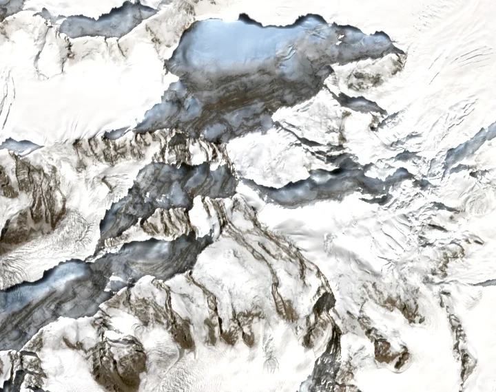
Range Position and Summit Identity
The Saltoro Range extends along the western margin of the Siachen Glacier within the eastern Karakoram. Saltoro Kangri's main summit, catalogued at 7,742 metres, is a geographically distinct peak separate from Saltoro Kangri II and Ghent Kangri; modern survey catalogues assign each its own coordinates and elevation.
John Hunt's 1935 Reconnaissance
In 1935, John Hunt — who would later lead the 1953 British Everest expedition — joined colleagues for a reconnaissance and attempt on Saltoro Kangri. That effort established an approach line the 1962 Japanese–Pakistani expedition, led by T. Shidei, followed when planning the first ascent more than two decades later.
First Ascent, 24 July 1962
On 24 July 1962, Y. Takamura, A. Saito, and R. Bashir reached the summit, completing the first ascent as documented in the Himalayan Journal's 1962–63 club proceedings. An Indian team recorded a subsequent ascent in 1981, per the Himalayan Journal's historical survey of Karakoram climbing.