
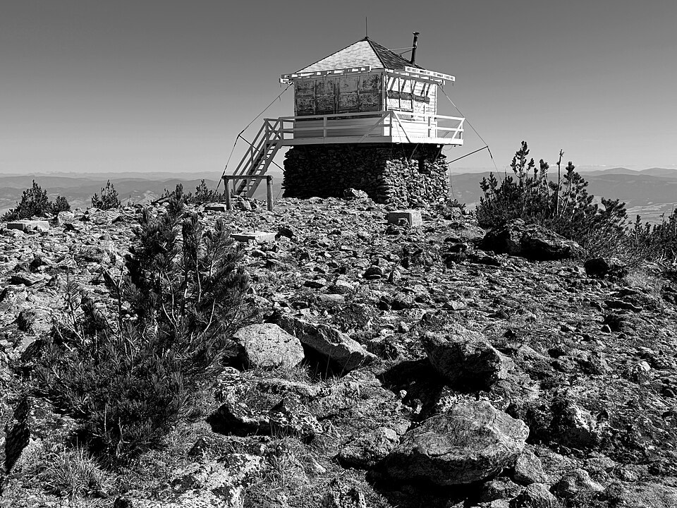
From Survey Station to Fire Lookout
The summit's utility as a fixed point preceded its fire-detection role. USGS survey crews established a triangulation station on the peak, using its commanding position to anchor angle measurements across the Bitterroot range. That same exposure later made it a logical site for a fire-detection post.
The Early Tower and Its Replacement
A fire detection report from Saint Mary Peak dates to 1931. In 1934 the National Forest added a lookout house atop a pole tower at the summit. A windstorm in 1951 blew that lookout house down the mountainside. The current prefabricated L-4 building was completed in 1953 and listed on the National Register of Historic Places on April 6, 2018.
Volunteer Conservation
In 1998 volunteers repaired the lookout's exterior through the Forest Service's Passport in Time program, a dated example of community-led preservation at a structure that had already endured four decades of summit weather.