
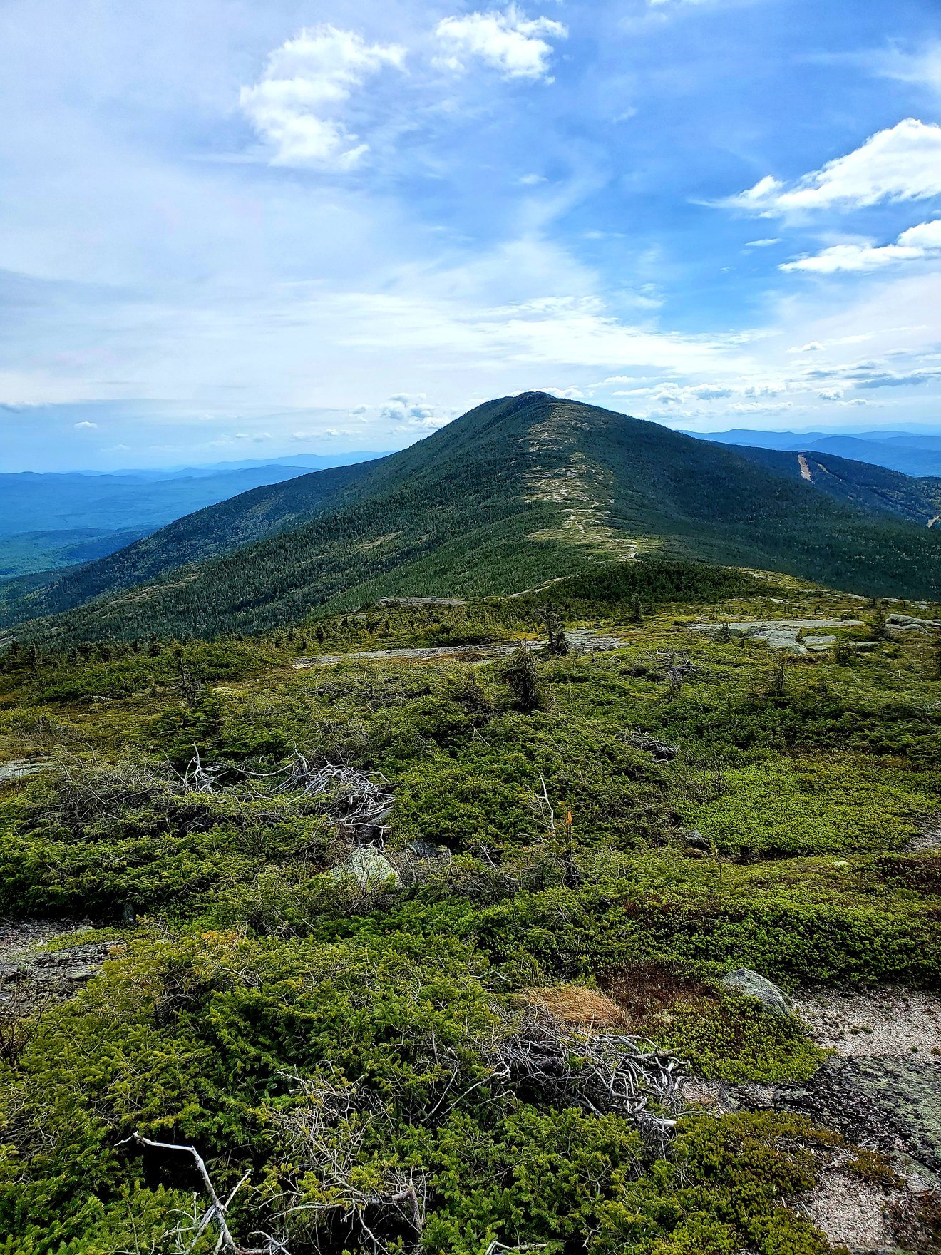
Summit and Ridge Topography
The main Saddleback summit and the subsidiary Saddleback Horn form a continuous elevated ridge that the Appalachian Trail traverses east of Rangeley. Neither point reduces to a simple shoulder of the other; the ridge orientation and elevation together produce the sustained exposure that shapes conditions across the entire upper terrain.
Alpine Plant Communities
The Maine Natural Areas Program documents two distinct community types on the ridge. Windswept crests support diapensia and other stress-tolerant plants in low mats; bedrock depressions that impede drainage sustain cotton-grass and heath species classified as alpine bog. Both community types occupy the same upper zone within metres of each other.
Berry-Picking Path and Ski Area
Maine's natural areas account describes a historic berry-picking path approaching the ridge, a vernacular route predating organized recreation. A separate history belongs to the ski area that opened on Saddleback in 1960, according to regional tourism history. The two presences reflect different relationships to the mountain's terrain across distinct periods.