
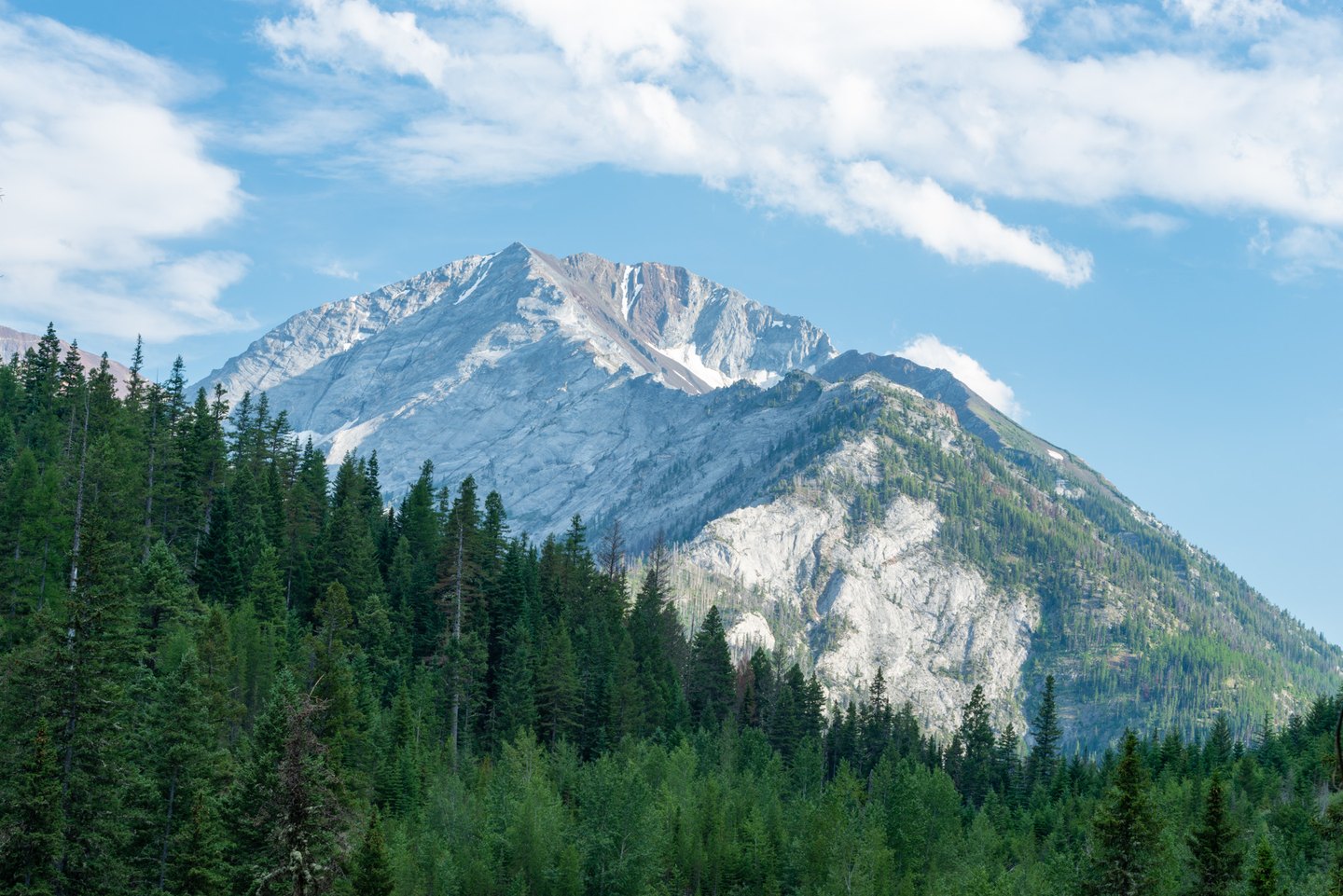
Position in Eagle Cap Wilderness
The GNIS record places Sacajawea Peak within Eagle Cap Wilderness, situating it north of the Wallowa Matterhorn and northwest of Ice Lake. Forest Service topographic mapping shows the summit on the high ridge rising above the lake basin below. Ice Lake and the Wallowa Matterhorn are physically distinct features, and the mapped terrain between them reflects the broader pattern of ridges and carved basins characteristic of this part of the range.
A Name and Its Official Spelling
The peak is named for the Shoshone woman who traveled with the Lewis and Clark Expedition. In 1998 a proposal was put forward to change the summit's official spelling to Sacagawea Peak, reflecting one of several historical variants associated with the individual's name. The U.S. Board on Geographic Names reviewed that proposal and in December 1999 rejected it, leaving the Oregon summit's official designation as Sacajawea Peak.
Glacial Terrain of the Wallowas
The mapped relief around Sacajawea Peak reflects a landscape shaped by glaciation. The high ridge on which the summit sits and the lake basin beneath it are characteristic landforms of the glacially carved Wallowa Mountains, where ice moving through the terrain left behind steep-walled basins and angular ridgelines. Forest Service mapping records this configuration for the Eagle Cap area.