
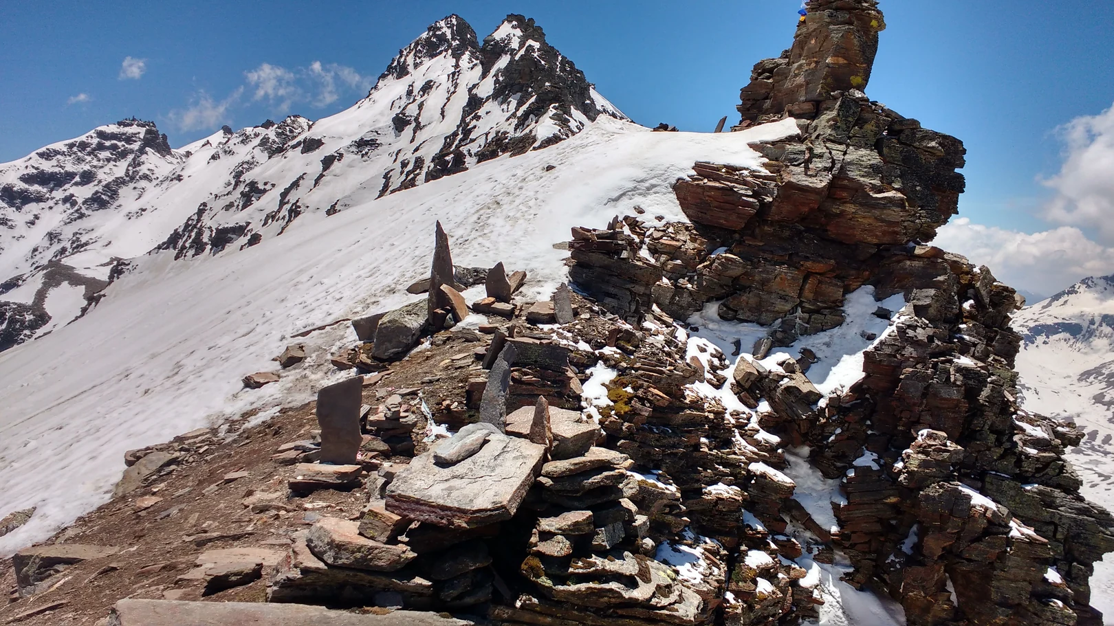
Approaches and the Rohru Corridor
The Himachal Pradesh Ecotourism Society describes an approach from the Rohru direction that follows the Pabbar valley, passes Dandras waterfall, and reaches the Rupin headwaters near a point referred to as Rupin Top. This corridor is distinct from the Dhaula approach and from the route William McKay Aitken describes following the Rukti Gad up from Sangla, where he identified a cairn-marked crossing above the Rupin headwaters. The Uttarakhand Open University route description separately places the pass between Dhaula and Sangla.
Buchanan's October 1917 Crossing
W. E. Buchanan left Jaka on 2 October 1917 heading for Rupin Pass with porters, spending a night below the pass before the ascent. His account in the Himalayan Journal describes crossing snow bridges and climbing steep snow on the approach. On descent, Buchanan observed substantially less snow on the Baspa side; he found dry barley being harvested there, while amaranth and buckwheat on the Rupin side had been ruined by rain. He camped at Dogri before reaching Sangla the following morning. Buchanan also attributes 15,460 feet to Gerard's survey.
Aitken's 1992 Traverse and Route Identification
In October 1992, William McKay Aitken travelled from Sangla with members of the hiking club of St. Stephen's College, Delhi, the group led by Romesh Bhattacharjee. They passed cultivated seasonal plots at Kanda Dogri and spoke with local shepherds about the Rupin crossing. Drawing on his terrain account and information from forest officer H. M. Grover, Aitken identifies the pass he crossed as probably the same route Buchanan had used in 1917.