
Northwest Ice Col and East Route, 1997
The American Alpine Journal recorded Christian Walter and Anne Riedel's 1997 ascent via a steep northwest ice col, with descent by the east route. On the same expedition, Henrike Suess and Thomas Berthold reached the summit by the east route. The traverse by Walter and Riedel combined a new line on ascent with the established east route on descent.
2013 Peace Expedition
Dawn documented a 2013 expedition to Rupal Peak organized as a peace climb. The group included local guides and novice climbers among its participants. The event marked a phase of Pakistani-organized ascents on the peak, bringing symbolic purpose alongside the alpine objective at 5,642 metres.
Valley Terrain
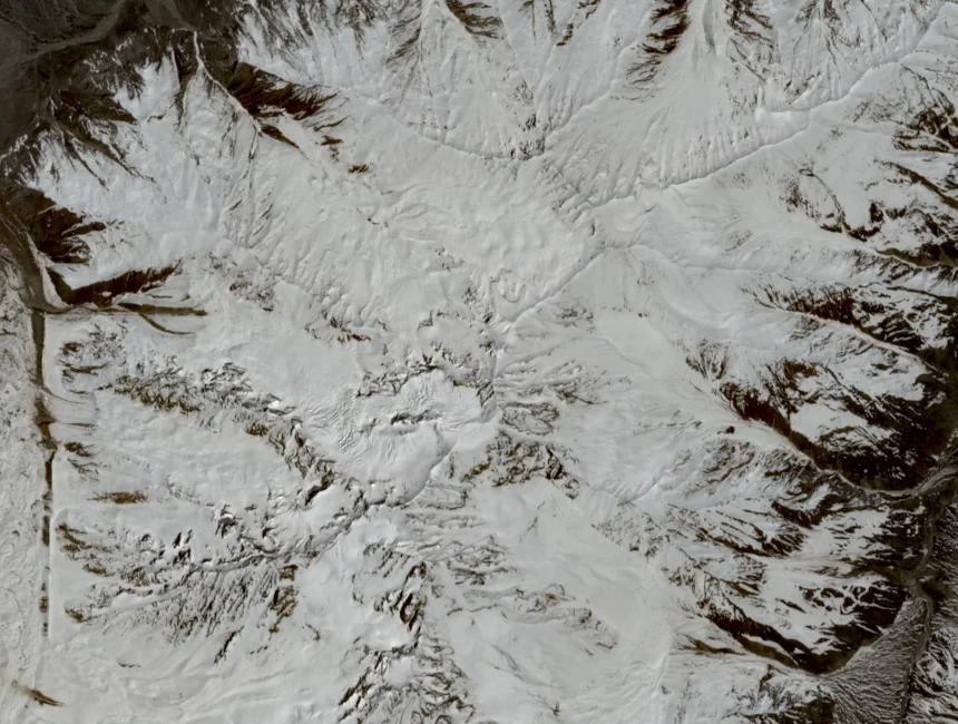
The Rupal Valley forms a deep southwestern drainage in the Nanga Parbat massif of Pakistan. Rupal Peak rises from valley terrain south of Nanga Parbat's main summit. The 1997 AAJ expedition and the 2013 Dawn-documented group both approached the peak from within this drainage, using the valley floor as their base of operations.