
Early Travelers in the Kangri Garpo
Kishen Singh, a Survey of India pundit, traveled through the southern reaches of the Kangri Garpo area in 1882. Frank Kingdon-Ward and Ronald Kaulback traveled in the region in 1933, and Hirai records that they named the massif Choembo in their accounts. Hirai documents both visits as early records of the landscape and local approaches.
Kobe University Expeditions on the Northeast Ridge
The Alpine Club of Kobe University conducted a reconnaissance along the Ata Glacier in 2002. In 2003, a nine-member expedition led by Kazumasa Hirai, with H. Kitaguchi as climbing leader, followed the northeast ridge to a col at approximately 5800 metres, where deep snow and poor visibility halted progress beneath a steep corniced rock band.
Neighboring Peaks and Summit Identity
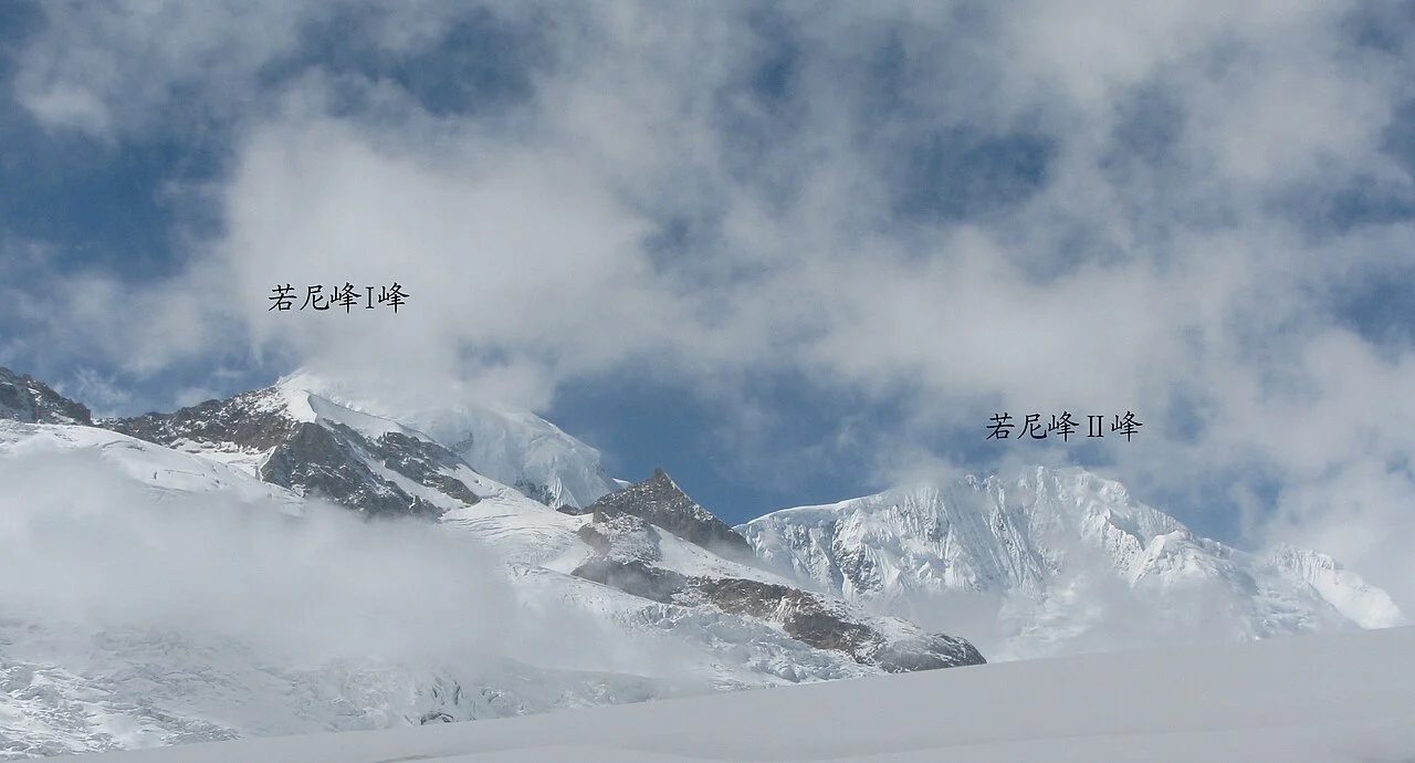
The Chinese PLA map assigns Ruoni the 6882-metre figure. In 2009, a separate expedition in the Kangri Garpo ascended Lopchin, a neighboring peak catalogued separately in the cartographic record and Kobe survey. Historical Soviet estimates of 6805 metres appear in records for Lopchin.