
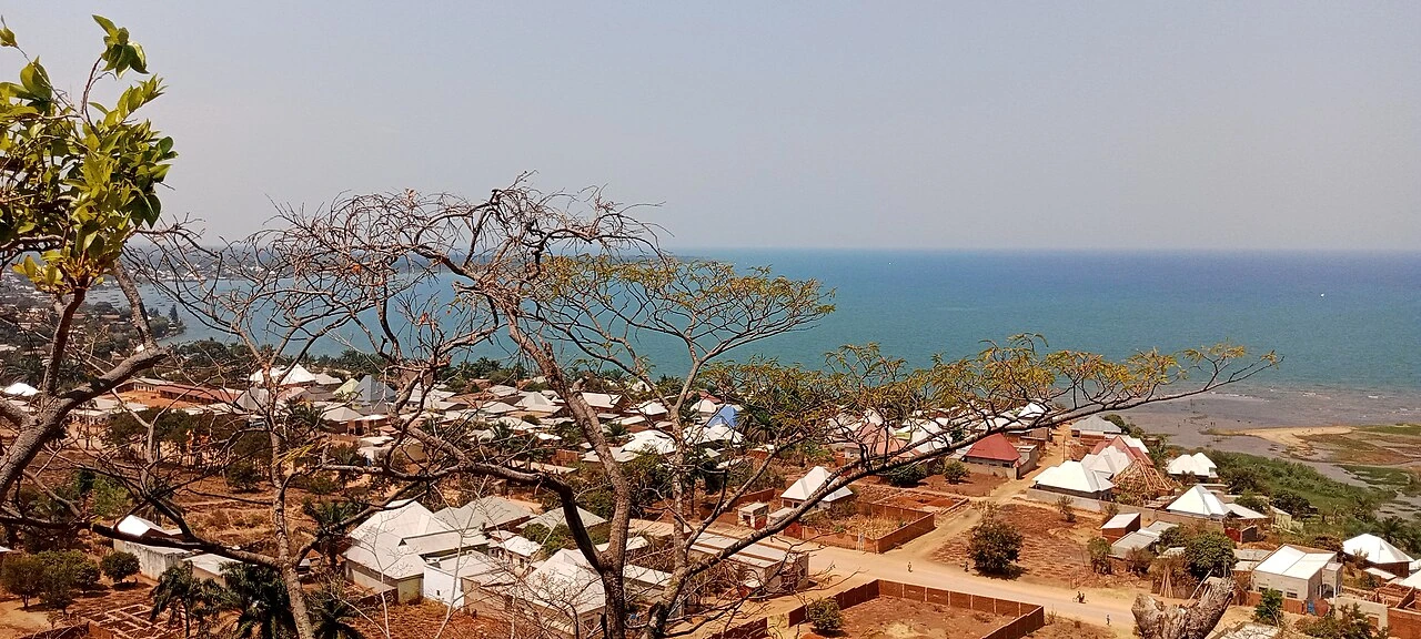
Rocks above Lake Tanganyika
Lake Tanganyika lies in the western branch of the East African Rift. Geological mapping traces the Rumonge border fault beneath the lake. Closer to the town, field studies found that former lake shores had left sandy terraces beneath the lower ground. The Rukinga and Teba hills expose mostly older metamorphic rocks. The photograph looks downslope from Nkayamba toward the town and lake.
The 1972 Botanical Record
Botanist M. Reekmans collected several specimens at 1,200 metres in Rumonge on 16 January 1972. Burundi’s environmental institute preserves the records in a scientific bulletin. One entry, specimen 1412, is the legume Neorautanenia mitis. Other Rumonge entries record collections at 800 metres on different dates. Together they show how the botanical collections extended from near the lake onto higher ground.
Miombo and Termite Mounds
Miombo woodland dominated by Brachystegia trees grows on small hills above the lakeshore plain. In Rumonge woodland, researchers sampled spiders on 14 termite mounds and in the surrounding woodland. Jumping spiders of the genus Langelurillus were more abundant on the mounds or close to them. Other spiders were found more frequently away from them.
Protected Slopes and Stewardship
A decree dated 14 November 2011 set out protection for the Rumonge–Vyanda and Nkayamba forest reserves. The Nkayamba woodland covers parts of the Nkayamba and Rukinga hills overlooking town. Local reporting by Iwacu quoted a forestry official and residents about the reserve. Residents described working together to contain fires when they broke out on the slopes.