
Documentary Record and Name
The name Rudugaira for the 5,364 m peak appears in Franco Perlotto's 1987 dispatch, filed with the Club Alpino Italiano during an expedition targeting Thalay Sagar. After four days of marching along the Bhilangana River, porters halted at the junction of the Khatling and Phating glaciers beneath the named summit, and base camp was placed at that junction. The 5,819 m Rudugaira near Gangotri is a separate peak roughly 15 km to the northwest, with a distinct location and elevation confirmed by the Indian MHA register.
1992 Ascent via the North Ridge
Following a successful new-route ascent of Thalay Sagar, Gordon Scott, Tom Prentice, and Susan Grimley climbed the 5,364 m Rudugaira during the 1992 British expedition. The Japanese Alpine Club's Indian Himalaya chronology attributes the north ridge as the line taken, and Keith Milne's account, published in the 1993 American Alpine Journal, reports the ascent.
Map Position and Glacier Change
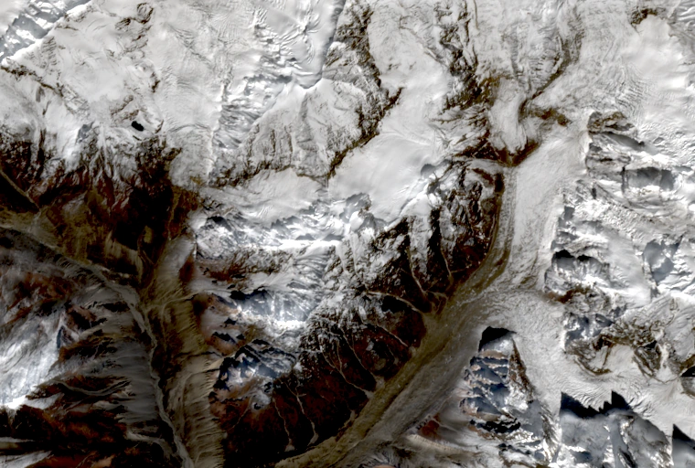
The 1991 Mount Everest Foundation expedition map marks point 5,364 south of Ratangrian on the ridge between the Khatling basin and the Phating branch. A study mapping glacier termini from 1973 through 2024 documents a historic connection between the Khatling and Phating glacial bodies and their subsequent retreat over that period.