
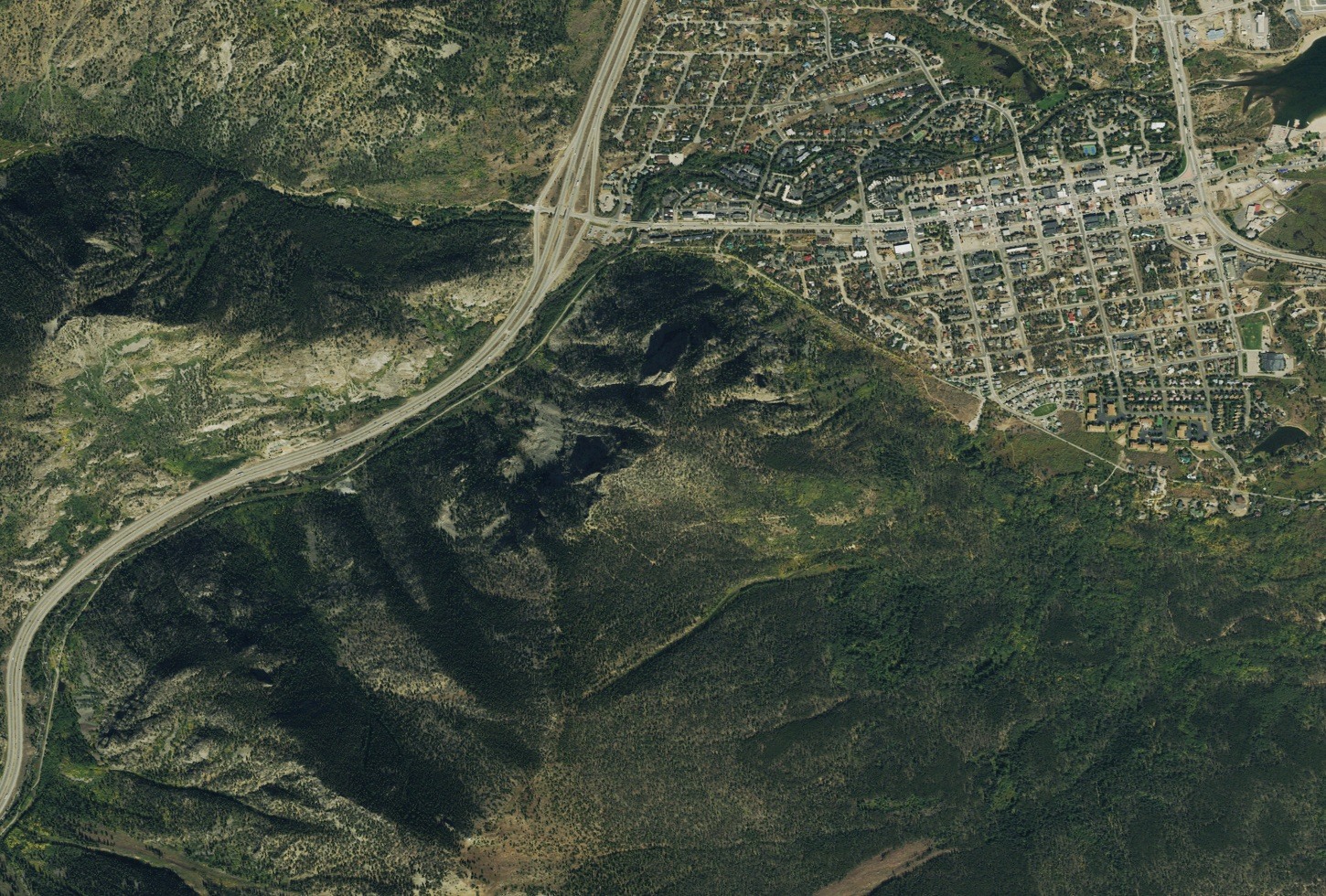
Geology and Setting
USGS mapping of the Frisco quadrangle records metamorphic basement rock in the Tenmile Range, while Pinedale glacial outwash underlies most of the town of Frisco below.
Masontown and Early Settlement
On Royal Mountain's flank stood Masontown, a settlement associated with the Victoria Mine that developed during the area's mining era. Sources including a federal presidential proclamation and Frisco's historic park and museum record that avalanche damage struck the settlement in the early twentieth century.
Ski Jump Ruins and Monument
Royal Mountain falls within the land designated by the 2022 Camp Hale–Continental Divide National Monument proclamation, which records ruins on the mountain associated with the Royal and Peak One ski jumps group, including remnants of a judges' platform support structure. The mountain is also locally known as Mount Royal, a name reflected in the Frisco historic resource survey alongside the official designation.