
The Original Hill
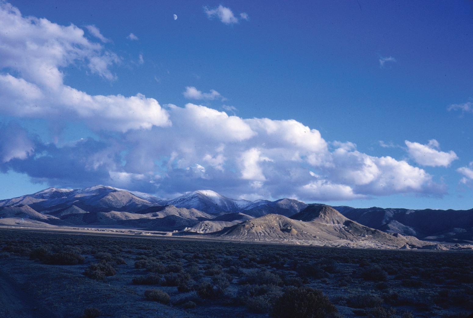
When geologist Frederick Leslie Ransome visited in June 1908, the oval hill rose about 120 metres (400 feet) above the gently sloping deposits at the valley’s edge. In the 1966 photograph, Round Mountain is the pale hill just right of center, with Stebbins Hill on its left and Sunnyside Mine on its right flank. Piles of waste from gravel mining are already visible below.
The United States geographic names database still locates the summit. Modern elevation data place that coordinate on much lower ground, within terrain reshaped by the mine.
Volcanic Origins and Mineralization
Volcanic ash that hardened into tuff makes up much of the local bedrock. Christopher D. Henry and his colleagues reported in 1997 that an ash-flow eruption and the collapse of its caldera occurred about 26.5 million years ago.
Later, around 26 million years ago, hot water circulated through fractures and deposited gold and silver. Dating the tuff and minerals put these processes in order.
Mining History
Mining was under way by 1906, according to the Bureau of Land Management. Miners first separated gold from gravel at the base of the hill by dry washing. Later they piped water from two creeks across the valley to wash the gravels under pressure. Other crews followed veins underground.
The modern hard-rock open pit began operations in late 1976. In 1977 it yielded its first bar of unrefined gold and silver. The 1966 photograph records the shape of the hill after decades of mining and just before excavation on this larger scale.