
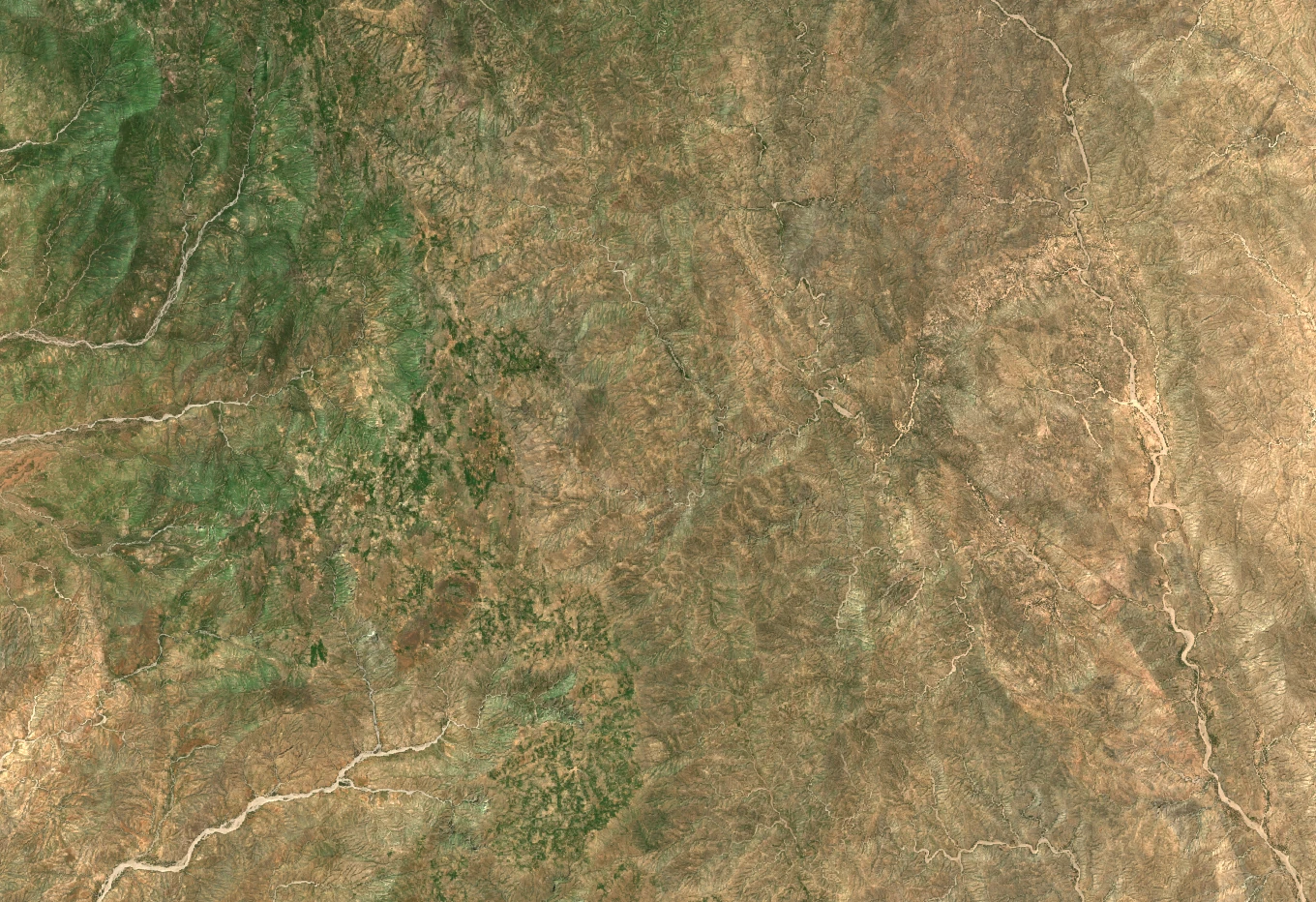
How the Plateaus Took Shape
The chain runs from the north of historic Senhit toward Sudan. Faulting and erosion divided an older plateau into the blocks that remain today. On the Rora Habab plateau, shown in the satellite photograph, field researcher Scott Jones recorded elevations of 1,900 to 2,600 metres. Some cliffs rose about 1,000 metres above the surrounding country.
Terraces and Stones of Rora Habab
In Tigre, rora can mean a high place or plateau. During fieldwork in the 1980s, Scott Jones documented animal figures engraved on rocks and collected oral accounts from local residents. He revisited carved standing stones in 1989 that Carlo Conti Rossini had published in photographs in 1928. Earlier surveys also recorded extensive traces of agricultural terraces.
The Wartime Mountain Landscape
During Eritrea’s war of independence, the highlands of the former Sahel province sheltered the Eritrean People’s Liberation Front. Encyclopaedia Aethiopica describes Nakfa as a symbolic centre from 1978 to 1991. Eritrea’s Ministry of Information documented surviving trenches near Mount Denden in 2018. Farther south, Keren had served as an administrative centre for Sahel, Senhit and Barka under the British Military Administration after the Second World War.
Juniper and Olive Woodland
A joint survey by the Eritrean government and UNDP photographed Rora Habab’s woodland in 2015. Eritrea’s 2019 biodiversity report mapped areas for restoration on the plateau, including stands of East African juniper (Juniperus procera) and African wild olive. Field studies also documented cereals and livestock on the plateau. These observations connect the wooded slopes with the farms and grazing grounds around them.