
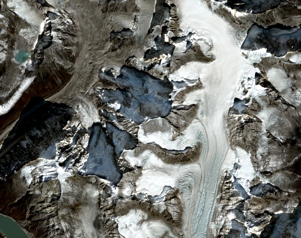
Location and Elevation
Rolwaling Kang lies in the Rolwaling Himal of northeastern Nepal, catalogued at 6,664 meters by Nepal's Department of Tourism. It is a distinct peak, separate from the nearby Rolwaling Kang Shar and Rolwaling Kang North. The Himalayan Database places the summit at latitude 27.897622°N, longitude 86.520725°E.
2015 Planning and the 2016 Approach
Yasuhiro Hanatani's Japanese Himalayan Camp originally planned a 2016 ascent for 2015, but the April 2015 earthquake made the approach impractical and the expedition was postponed. In 2016 the team established a lower base camp at 4,700 meters at the entrance to the Drolambau Glacier, then moved through moraine terrain during reconnaissance.
First Ascent, October 2016
On October 19, 2016, two rope teams climbed the south face in parallel before crossing the summit plateau toward the northeast. The six summiteers were Yasuhiro Hanatani, Yuichiro Iida, Maho Ishio, Yohei Kayama, Keisuke Tsunoda, and Takuya Yoshikawa, constituting the first recorded ascent of Rolwaling Kang.