
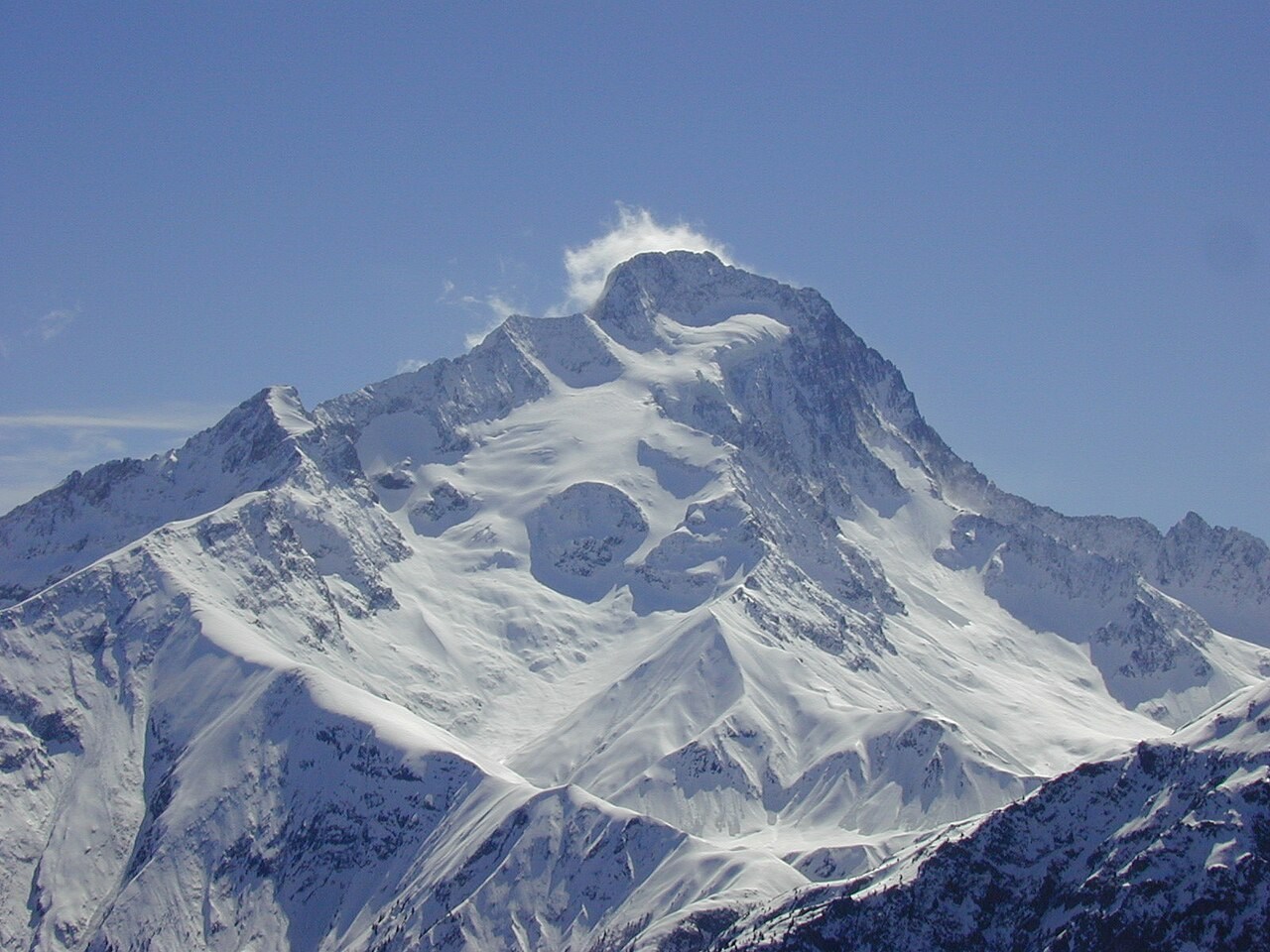
The Peak and Its Surroundings
The summit stands above a glacially carved basin, with the glacial lake that bears the same name sitting directly below the mountain. The Écrins national park geological inventory presents a labeled view of the peak showing its relationship to surrounding exposed rock faces and the glacial morphology of the basin beneath them.
The park’s geological inventory identifies several thrust surfaces where rock was pushed over adjacent layers. Its photographs document exposures revealed as the glacier receded.
First Ascent
On July 2, 1875, W. A. B. Coolidge and the Almer father-and-son guides opened the normal route on the east-northeast face and northeast ridge of Roche de la Muzelle. Both Alpes Isère and Écrins National Park records confirm the ascent on that date.
The Refuge
Alpinists once camped in the valley or used a herders’ hut. In 1967 the municipality built the refuge beside the glacial lake below the mountain.