
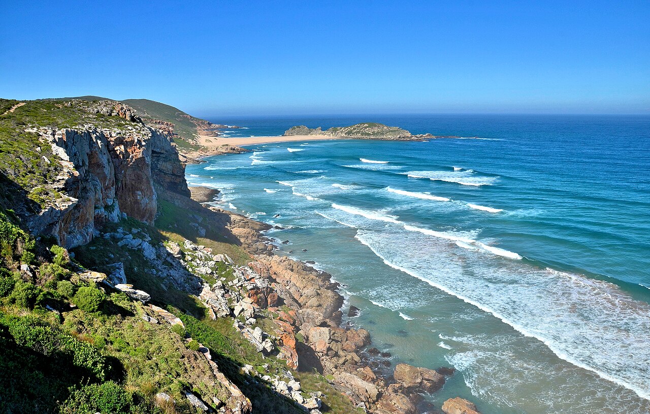
Gondwana Bedrock and the Tombolo Shore
The peninsula's bedrock dates to approximately 120 million years ago, a period CapeNature associates with the breakup of the Gondwana supercontinent. Waves carried sediment around both flanks of a rocky offshore outcrop within the headland, depositing it in the sheltered corridor between and gradually forming the sandy tombolo that now anchors it to the coast.
Wind-Shaped Climbing–Falling Dune
A distinct climbing–falling dune marks the reserve's landform sequence, sculpted by prevailing coastal winds that drive sand up and over the headland's ridge. The feature illustrates active aeolian processes operating on the same landmass where ancient geology and accumulated marine sediment define the broader coastal platform.
Nelson Bay Cave and Stone Age Occupation
Nelson Bay Cave, situated within the reserve, contains stratified Middle and Later Stone Age archaeological deposits. The World Heritage dossier documents layers bearing on past coastal environments and shifts in human food strategies and technology, making the site a primary reference for understanding long-term occupation along the southern Cape coast.