
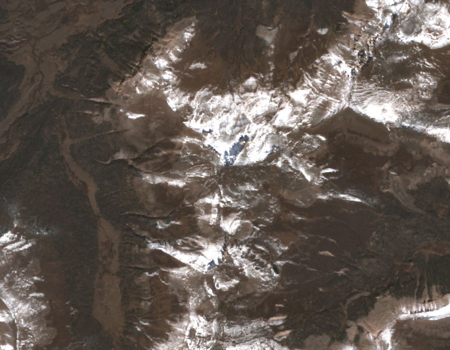
Form and Landmark Geometry
The mountain's profile gives it its name, though no documented etymology is cited here. On a ridge near the summit, the USGS map depicts a feature called the Window: a rectangular notch drawn as a separate landform. The Forest Service's scenic character assessment for the Continental Divide National Scenic Trail identifies the Window as a recognizable landmark along this section of the trail.
Position Along the Continental Divide
The Continental Divide runs near Rio Grande Pyramid, separating drainages that feed the upper Rio Grande to the east from streams that flow westward into the Colorado River system. The Rio Grande's headwaters are distributed across the broader San Juan Mountains rather than originating at any single point.
Weminuche Wilderness Context
Rio Grande Pyramid sits inside the Weminuche Wilderness, the largest designated wilderness area in Colorado. The LiDAR-derived elevation of roughly 4,214 m refines earlier survey figures; the raw GNIS registry coordinate falls at some distance from the precise summit location as mapped.