
Folded Ridge Geology and Talus
The Ouachita Mountains formed through intense folding and faulting of marine sedimentary rock, producing the pronounced east-west ridgelines that define the province. A 2022 study documented patches of rocky talus within the surrounding forest along Rich Mountain and the adjacent Black Fork area, distinguishing these features from general slope cover.
The 1898 Inn and Queen Wilhelmina
In 1898, capital linked to Dutch investors financed a mountaintop inn on Rich Mountain through the Kansas City, Pittsburg and Gulf Railroad, naming it for Queen Wilhelmina of the Netherlands. The inn was built to attract rail passengers to the ridge, giving the site an unusual transatlantic dimension recorded in the state parks brochure.
State Park Development and the Lodge Sequence
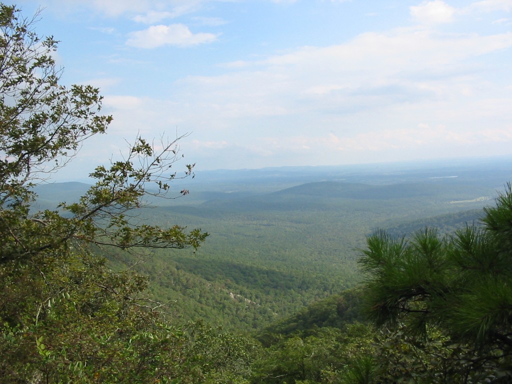
Arkansas acquired land on Rich Mountain for park development in 1957. A lodge built in 1963 was replaced by 1975, while the Queen Wilhelmina Lodge name, established by the 1898 railroad inn, continued through both state-era structures. A federal archive photograph by P. Hicks records the wooded valley below from Lover's Leap near the lodge.