
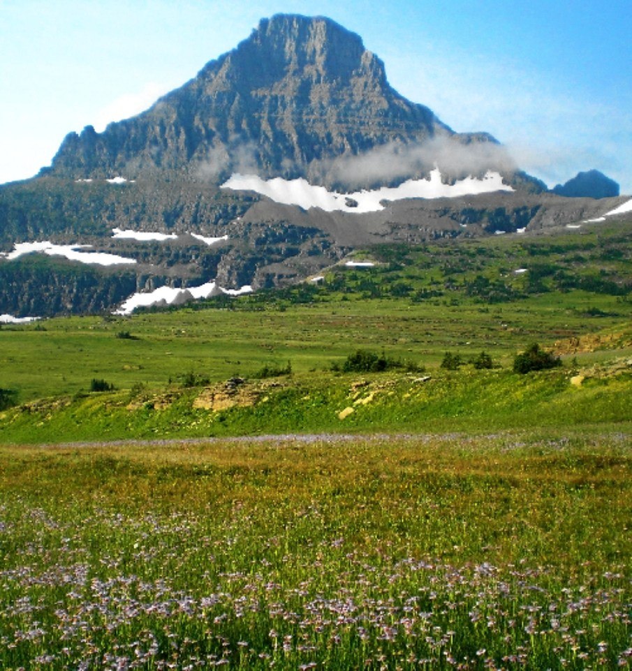
Position Relative to Logan Pass
Reynolds Mountain rises south of Logan Pass, while Clements Mountain stands to the north—two summits framing the Continental Divide where the Going-to-the-Sun Road crests. The Logan Pass Visitor Center occupies the pass itself; its National Register nomination, dating the design proposal to 1960, identifies Reynolds Mountain as part of the structure's visual setting.
Glacial Abrasion and the Former Clements Glacier
Glacial abrasion—the grinding of ice-borne rock fragments against bedrock—shaped the basins, ridges, and cirques throughout Glacier National Park. Exhibits near the Hidden Lake Trail at Logan Pass describe the former Clements Glacier as evidence of past ice extent in the immediate area. No reporting indicates Reynolds Mountain itself currently hosts an active glacier.
Precambrian Rock and the Alpine Setting
At approximately 2,781 m, Reynolds Mountain's upper flanks lie well above treeline, exposed to alpine weathering. The surrounding terrain consists of Precambrian sedimentary rock thrust eastward over younger formations, then sculpted by glaciation into the cirques and arêtes that define the skyline above the pass.