
Heights on maps and in accounts
Kiełkowski's 1995 survey records the saddle at 5,417 m and lists the alternate renderings Henjo Pass and Lhenjo Pass alongside the older name Chango La. The German Alpine Club account of Stefan Eckert's April 2016 crossing and the Austrian Alpine Club's November 2019 trek report each give 5,430 m. A 2026 European Geosciences Union field account by Lauren D. Rawlins gives a figure of around 5,360 m.
Terrain and Documented Crossings
Günter Seyfferth's photographic field guide shows stone steps high on the western approach and a path along a moraine on the Gokyo side. In a firsthand report published by the Himalayan Club in 2009, Indian mountaineer Malli Mastan Babu describes crossing Renjo La with companions during his 2008 traverse. Stefan Eckert's group crossed from Gokyo toward Lumde with guide Gita in April 2016, describing prayer flags at the saddle and clear views of Everest, Lhotse, and Nuptse.
Gokyo Lakes and the Ramsar Watershed
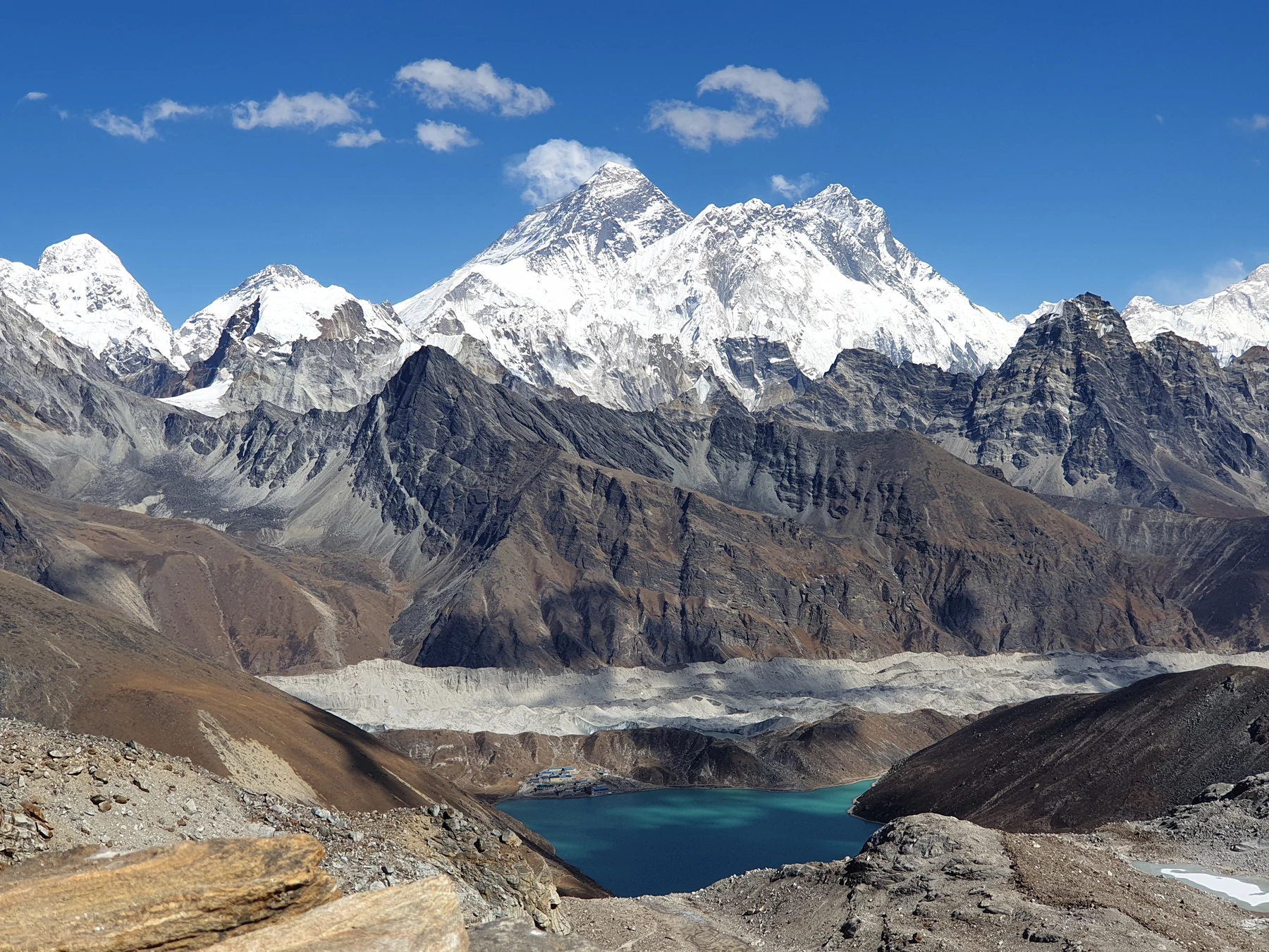
Looking east from Renjo La, the debris-covered surface of the Ngozumpa Glacier and the turquoise water of Gokyo Lake come into view. Gokyo and Associated Lakes were designated a Ramsar wetland on 23 September 2007, a 7,770 hectare site within Sagarmatha National Park. Documents prepared by Nepal's national parks department and WWF Nepal describe residents of Namche Bazaar observing Janai Purnima at the lakes and seasonal grazing in the catchment.
Lake measurements and trail work
A limnology paper by Sharma and colleagues, published in print in 2012, reports three field seasons of measurements in the second, third, and fourth moraine-dammed lakes of the Gokyo valley and found each to be deeper than previous estimates had indicated. Sagarmatha National Park has separately reported construction of 3 km of approach trail to Renjo La in Ward No. 5 of Khumbu Pasang Lhamu Rural Municipality.