
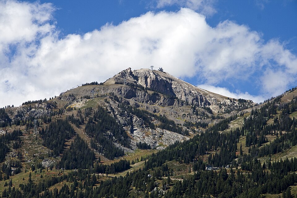
Two Elevations, Two Names
The Federal Geographic Names Information System carries two distinct entries for the southern summit above Teton Village in Wyoming, with GNIS entry 1602485 giving the name Rendezvous Mountain and GNIS entry 1602487 giving the name Rendezvous Peak, both entries placing the feature at the same southern summit location. Peakbagger records a LiDAR-based elevation reading of approximately 3,331 meters for this summit.
The upper station of the Jackson Hole Mountain Resort aerial tram terminates at a northern point on the ridge at approximately 3,185 m (10,450 ft), a figure the resort has used consistently in its published history. The operator's materials refer to this tram terminus colloquially as the summit, a usage that reflects the riding area rather than the independently mapped Rendezvous Peak to the south.
The Aerial Tram and Teton Village
Jackson Hole Mountain Resort's published chronology records that construction on the original aerial tram began in 1964 and the installation opened in 1966, establishing a direct mechanical link between the valley floor and the 10,450-foot upper station. A contemporaneous account entered into the Congressional Record that year situates the project within the broader development of Teton Village as a planned ski destination, documenting the ambition and scale of the effort at the time of its completion.
The resort later replaced the original tram with a newer installation, a succession documented in the operator's own history. Throughout both eras, the upper station has anchored the resort's vertical terrain and remained the practical reference point for the mountain's skiing elevation.
Ridge Terrain and Geological Setting
The USGS topographic quadrangle for the Rendezvous Peak area maps a rugged crest flanked by steep slopes and neighboring valleys characteristic of the southern Teton Range. A photograph taken from the northern side of the ridge captures the ski infrastructure and trails occupying the terrain below the upper station, illustrating how the built environment sits against the natural relief of this portion of the complex. A published USGS geologic map of the southern Teton Range quadrangle documents the rock units and fault geometry underlying the ridge system, providing structural context for the range at this latitude.