
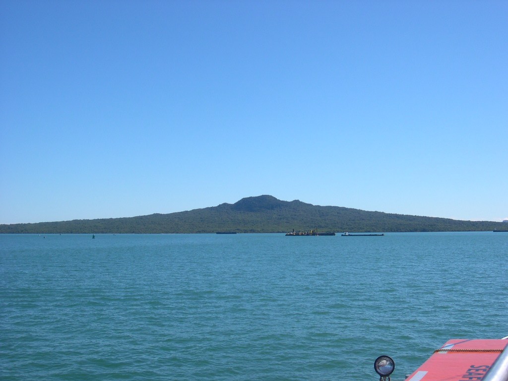
Volcanic Form and Age
The island's shield profile rises to a little under 260 metres at its summit, as recorded on the Department of Conservation map — a modest elevation that nonetheless makes it the dominant visual feature of the inner gulf. The broad, gently sloping form reflects the basaltic eruptions that built it, with much of the visible edifice owing its present shape to eruptive episodes several centuries ago.
A 150-metre drill core recovered from the island's base yielded a longer record. Researchers dated the oldest sampled lava flow to about 6,000 years ago using material in the surrounding sediment, separating the deep eruptive history from the landform visible today.
Cultural Presence and Early History
The Department of Conservation records Māori occupation on the neighbouring island of Motutapu before Rangitoto erupted. Across Rangitoto's surface, historic lava-stone structures remain from later periods of use, built from the same basalt flows that shaped the island.
Forest and Conservation
Despite its rocky, freely draining lava terrain, Rangitoto supports what the Department of Conservation describes as the largest pōhutukawa forest in the world, a native canopy that has established itself across the clinker and scoria flows.
The Department of Conservation has managed sustained pest control on the island, declaring it pest-free in 2011 to protect the forest and associated wildlife.