
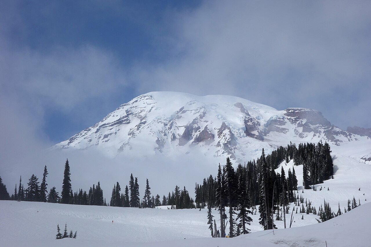
The shape of a volcano built among glaciers
The U.S. Geological Survey dates the growth of the present volcano to about half a million years ago. Its early eruptions built on the remnants of an older volcano. Lava piled up while glaciers occupied the valleys, leaving ridges where some flows had run alongside the ice. One place geologists can read that history is the Ricksecker Point lava flow, which formed around 40,000 years ago.
The ice is still a defining feature of the mountain. The Emmons Glacier spreads across the northeast side and covers the greatest area of any glacier in the contiguous United States. From Paradise, on the southern side, visitors see the mountain from a different angle, with the meadows below the ice. The U.S. Geological Survey lists the mountain at 4,392 metres, the rounded height of the old ice summit at Columbia Crest. A 2025 survey by Eric Gilbertson and colleagues measured the exposed rock on the southwest crater rim at 4,391 metres, above the remaining ice at Columbia Crest.
Many names, many relationships with the mountain
Indigenous peoples have long used the mountain and its valleys for hunting, fishing, and gathering. The National Park Service records several names used by peoples connected to the mountain, including Tahoma and Takhoma. In the early twentieth century, the Taidnapam basket maker Mary Kiona recounted in her own language how her relatives had spent a winter near the hot springs in the Ohanapecosh area.
In 1870 an Indigenous guide known as Sluiskin led P. B. Van Trump and Hazard Stevens to a camp near Paradise. The two men continued to the summit, completing the first ascent documented by the park’s historical account. The camp and the summit mark different parts of the same expedition.
From forest reserve to national park
Mount Rainier became the fifth U.S. national park in 1899. Scientists argued for preserving the mountain’s glacial landscape for study, while conservation groups, local businesses, and railroads saw other reasons to back the proposal. The park took shape through those overlapping interests, on land to which Indigenous communities already had enduring ties.