
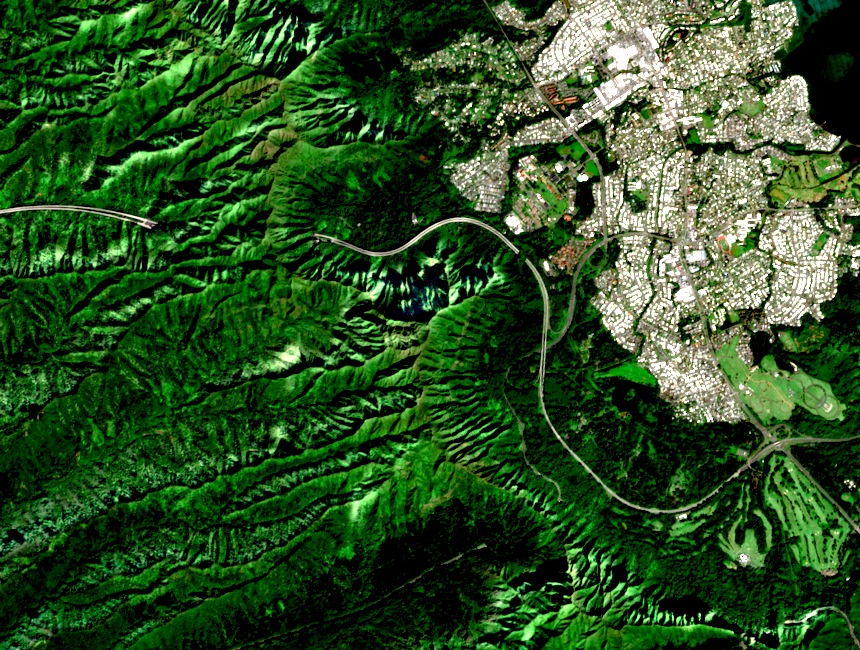
Above Haʻikū Valley
Puʻukeahiakahoe stands along a ridge beside Haʻikū Valley. The name also appears in historical accounts as Puʻu Keahiakahoe. Seen from above, the summit ridge and the neighbouring valley walls frame the valley.
A Radio Station between Ridges
The U.S. Navy began construction in May 1942. Its engineering history describes how workers used the valley’s high sides to suspend antenna cables between ridge-top anchorages. A cableway carried people and materials from the valley floor.
The Stairs and Later Navigation Use
The stairs provided access to equipment on the ridge. The U.S. Coast Guard later used the former Navy installation as part of the Omega Navigation System. The system transmitted signals that could be used to work out a position over long distances.