
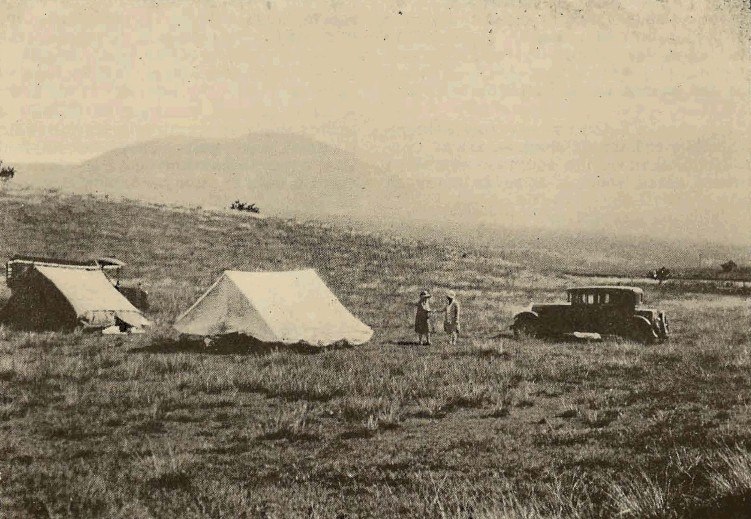
Landform and the Meaning of the Name
The Hawaiian name Puʻu Waʻawaʻa describes the coneʻs furrowed, channelled slopes — a morphology visible on its eroded flanks. The summit reaches approximately 1,208 metres above sea level; the USGS separately measures the coneʻs own relief at roughly 372 metres above its immediate base, distinguishing local topographic height from overall elevation.
Trachyte Composition and Volcanic Age
The Hawaiian Volcano Observatory interprets Puʻu Waʻawaʻa and neighbouring Puʻu Anahulu as possible evidence of Hualālaiʻs transition beyond shield building. Their lavas are viscous trachyte — silica-enriched rock rarely produced during a Hawaiian volcanoʻs main phase. Radiometric evidence places the cone at roughly 100,000 years old, substantially older than many surrounding flows on Hualālaiʻs flanks.
The Puʻu Waʻawaʻa Forest Reserve
The cone falls within the Puʻu Waʻawaʻa Forest Reserve, administered by Hawaiʻi DLNR. State documentation describes native habitat rehabilitation and removal of former ranch infrastructure. The USDAs Waawaa soil series, derived from the coneʻs trachytic deposits, distinguishes reserve terrain from the basalt-derived soils that predominate across most of Hualālai.