
Origin and Early Episodes
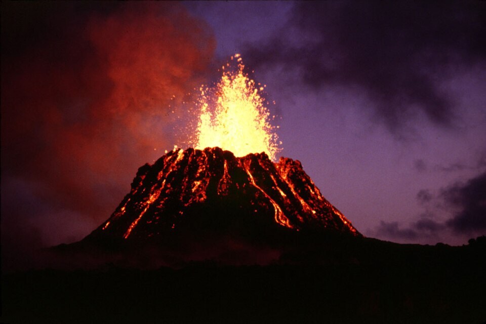
The eruption began on January 3, 1983, as a fissure eruption on Kīlauea's East Rift Zone. Activity concentrated at a single vent by June of that year, and the fifth eruptive episode was captured in a USGS image dated June 29, 1983.
Repeated episodes of high lava fountaining deposited tephra that accumulated into the cone. By 1986 that growth had raised the cone to around 255 meters above the pre-1983 ground surface, according to USGS general chronology.
Decades of Change
In July 1986 the active vent shifted about three kilometres down the rift to Kūpaianaha. In 1992, lava began erupting again through vents at and near Puʻuʻōʻō. The crater floor changed as lava levels rose and fell and parts of the cone collapsed.
On April 30, 2018, the crater floor and the lava lake collapsed, ending the 35-year eruption at Puʻuʻōʻō.
Documentation and Naming
The U.S. Board on Geographic Names changed the official spelling to Puʻuʻōʻō in 2021. Earlier USGS photographs and reports often use Puʻu ʻŌʻō.