
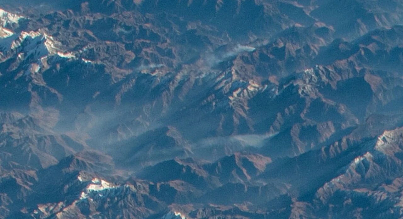
Identity and Setting
Within the Himalayan Database records — peak identifier PUTH — and Nepal's government mountaineering registry, the mountain is formally listed as Putha Hiunchuli at 7,246 metres. The alternate name Dhaulagiri VII situates it within the broader Dhaulagiri massif while acknowledging its geographic separation from the main Dhaulagiri chain; it should not be confused with Hiunchuli, the 6,441-metre peak above the Annapurna Sanctuary to the east. Its position west of Churen Himal places it at the outer edge of a massif more commonly approached from other directions, and the Kaya valley to the north has historically served as the principal avenue into this corner of the range.
The names Putha Hiunchuli and Dhaulagiri VII both identify the same summit, distinguishing it from the other numbered Dhaulagiri peaks and from Annapurna's Hiunchuli.
First Ascent and Early Reconnaissance
Jimmy Roberts and Ang Nyima Sherpa reached the summit on 11 November 1954, according to both the Himalayan Database and the contemporary record preserved in the Alpine Journal. Roberts' own narrative, published in the Himalayan Journal, recounts an approach through the Kaya valley on the north side of the peak. The expedition is linked in the historical record to the broader reconnaissance of the northern Dhaulagiri massif then underway, and Roberts' team contributed materially to early knowledge of that seldom-explored terrain. The precise climbing line on the north-northeast side is described in later American Alpine Journal accounts, though sources vary on certain route details and no single definitive line should be inferred from the first-ascent record alone.
Roberts' report places the first ascent in the context of reconnaissance around northern Dhaulagiri, with the approach made through the Kaya valley. Roberts and Ang Nyima completed the climb in November 1954.
The 1996 North-Northeast Face Expedition
More than four decades after the first ascent, a Singapore expedition returned to the north-northeast face in 1996. The leader's report in the American Alpine Journal describes an approach involving a long moraine and glacier crossing before the technical climbing began. Higher on the route, a broader shoulder provided a staging point, but the team encountered heavy snowfall that delayed progress during the approach phase. The account offers one of the more detailed published descriptions of the northern approach terrain, documenting the scale and character of the glaciated landscape that separates the Kaya valley from the upper mountain.
The 1996 expedition's report stands as one of the few detailed English-language accounts of the north-northeast face in the post-first-ascent period. It captures the interplay of glacial geography and high-altitude weather that defines attempts on this side of the peak — a long, physically demanding approach followed by route-finding on a face where snow conditions can shift materially between reconnaissance and summit push.
Expedition Record and Context
The Himalayan Database identifies the peak under the code PUTH at 7,246 metres and records the 1954 first ascent in its expedition data.
The 1954 first ascent record documents the approach through the northern Kaya valley. A 1996 expedition report describes terrain including moraine, glacier, and snow on the mountain's approaches and upper slopes.