
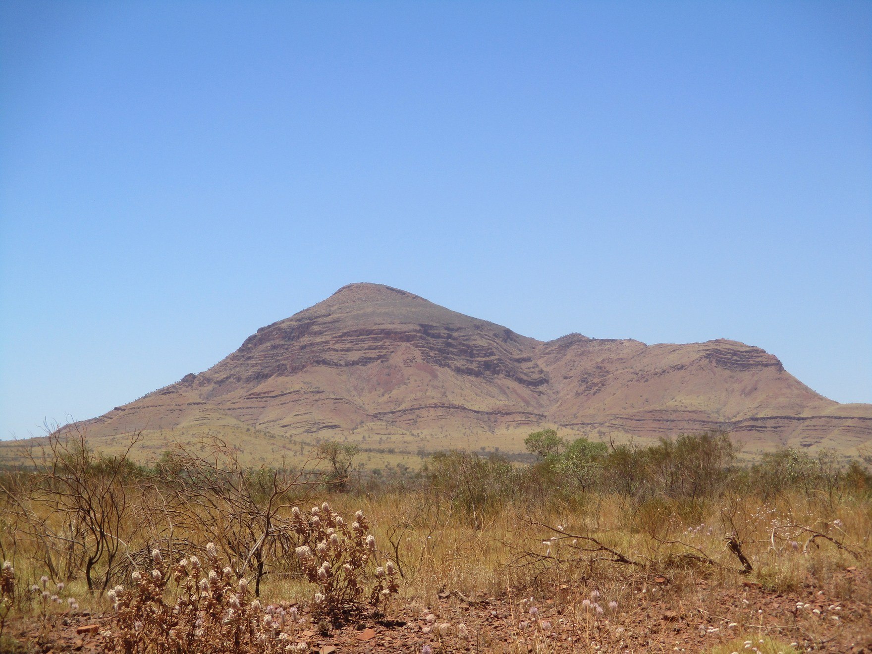
Survey History and Elevation
The Western Australian parks fact sheet places Punurrunha at 1,234 m, ranking it below Mount Meharry. A 1995 state journal records an earlier belief that Mount Bruce was higher than Meharry, a view that preceded more precise survey work. The 1,234 m figure represents the current state position.
Traditional Ownership and the Name Punurrunha
The park authority recognises the Banjima, Innawongka, and Eastern Guruma peoples as traditional owners of Karijini National Park. Punurrunha is the Aboriginal name for the mountain as recorded in the authority's materials. The parks agency also uses Punurrunha alongside Mount Bruce in its public resources for the summit.
Iron Ore Country and the Marandoo Mine
The Hamersley Range lies within a major iron ore province. The Marandoo mine, located near the mountain, opened in October 1994. The DBCA notes that a viewing area there shows the relationship between the mine site and the summit across the broader Pilbara landscape.