
Names and Elevations
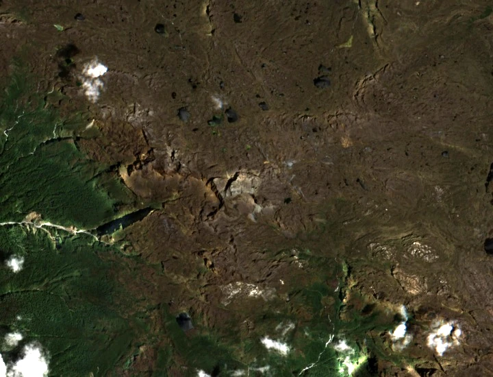
Wanadri recorded the summit elevation as 4535 m after their 2018 ascent. An International Mountain Guides expedition in January 2018 estimated approximately 4520 m. The Papua provincial government's topographic record lists 4595 m. The IMG account also noted that locals applied the name Lim to a wider group of peaks in the area rather than to this summit alone.
The January 2018 IMG Attempt
An International Mountain Guides party attempted Puncak Yamin in January 2018 and turned back without reaching the top. From high on the route the team observed steep cliff bands and noted views toward Puncak Mandala to the southeast.
The 2018 Wanadri Ascent
On 1 October 2018 at 11:23 local time a Wanadri team reached the summit of Puncak Yamin together with residents of Bime district. The approach from Bime took eleven days. Wanadri's expedition report documents the summit and the participation of Bime community members throughout.