
Names and Elevation
The USGS assigns Puncak Trikora an elevation of 4,730 m; other published sources cite 4,750 m. Wilhelminatop, the name appearing in early twentieth-century European expedition records, honours the Dutch queen of that era. Trikora is the Indonesian designation used following the colonial period. Both names remain present in the historical literature.
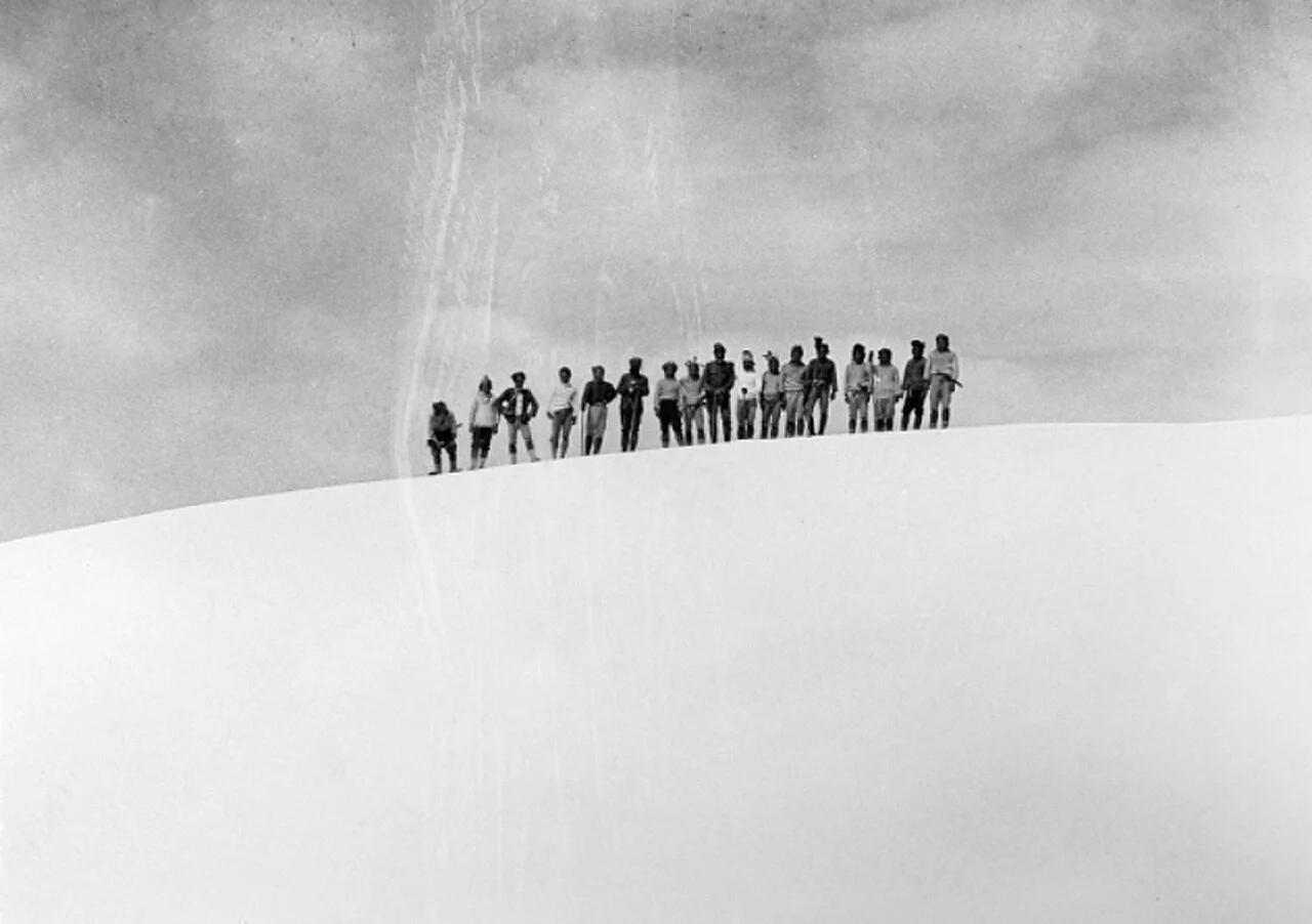
The February 1913 Photographic Record
On 21 February 1913, a party including A. F. Franssen Herderschee reached the summit and was photographed there. P. F. Hubrecht's 1913 photographs of the southern aspect document the then ice-covered upper flanks. These records establish a European-documented summit visit in February 1913; Highland Papuan peoples had inhabited the surrounding highlands for tens of thousands of years before that date.
Ice Cap Disappearance
Hubrecht's 1913 photographs confirm glaciation on Puncak Trikora at the time of that expedition. The USGS estimates the summit ice cap disappeared between 1939 and 1962, a window bounded by the last confirmed record of ice and the earliest survey finding none. The upper terrain visible today was shaped substantially by ice that no longer exists.