
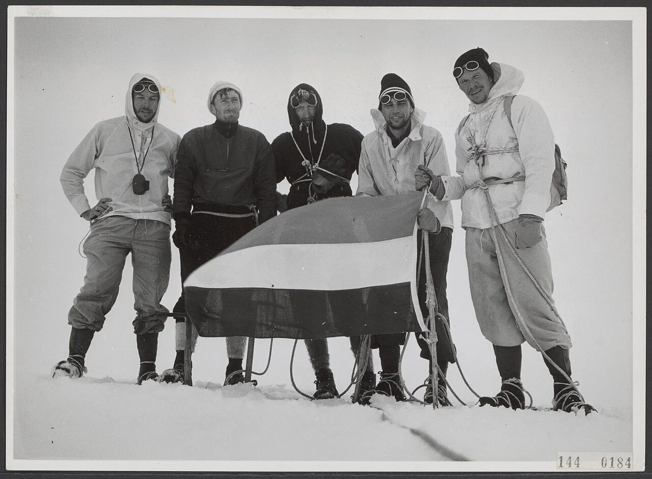
The 1959 Julianatop Ascent
Under Dutch administration, the peak was recorded as Julianatop. An archive compiled by Jan Sneep documents a 9 September 1959 ascent, with a photographic record listing climbers Ter Laag, Escher, Verstappen, Tissing, and De Wijn. Documents from this period are held at the Nationaal Archief. Following Indonesian administration of the region, the peak took its current official name.
Pegunungan Bintang Terrain
Puncak Mandala anchors the eastern sector of the Pegunungan Bintang, a highland massif lying east of Puncak Trikora and the Sudirman Range. The terrain comprises deeply dissected ridges and high valleys rising above the surrounding Highland Papua landscape, with the range extending toward the border shared with Papua New Guinea.
Glacial Ice: 1909 to 2003
Research published in the Journal of Glaciology records snow and ice on the summit as early as 1909. The 1959 expedition noted a glacier during their ascent. When Landsat satellite imagery was first analysed in 2003, no ice cap was detectable, placing the disappearance within the interval between those two observation points.