
A Name Rooted in the Wind
The Rangitāne account links the name Pūkaha to persistent strong winds at this location. A geographic name settlement involving Rangitāne o Wairarapa and Rangitāne Tamaki Nui a Rua changed the official designation from Bruces Hill. The LINZ gazetteer records the settlement spelling as Pukaha, without a macron; DOC and the wildlife centre use Pūkaha.
The Return of Kākā
The Department of Conservation records the release of nine juvenile kākā into the Mount Bruce forest in 1996, marking the species' return after an absence of nearly fifty years. The birds came from a captive-breeding programme; the reserve forest is a distinct wild habitat into which species have been reintroduced, separate from the captive facilities.
Landform and Setting
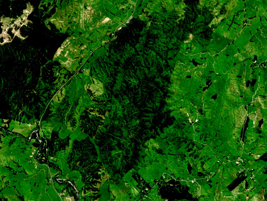
At 710 metres, Pūkaha / Mount Bruce rises as a forested hill at the transition between the Wairarapa lowlands and the Tararua ranges. Its intact podocarp and broadleaf canopy carries ecological significance beyond its modest elevation. The hill's position along State Highway 2 places it between Masterton and Palmerston North in the Wairarapa corridor.