
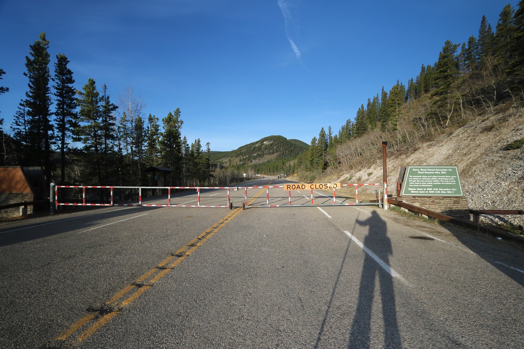
Position in the Elbow River Valley
Prairie Mountain rises directly above the Elbow River corridor, with Highway 66 tracing the valley bottom and Elbow Falls occupying the canyon on the opposite bank. The peak sits south and west of Canyon Creek, approximately six kilometres south of Moose Mountain, within the broader Bow River drainage that defines this stretch of Kananaskis Country.
Landform and Elevation
The summit reaches 2,210 metres above sea level, a figure separate from the elevation gain required to ascend from the valley floor. Administered under Alberta Parks within Kananaskis Country, the mountain's relief is conspicuous to travellers on Highway 66, whose vantage along the valley bottom makes the vertical mass of the peak readily apparent.
Trail Formalization Project
In 2023, Alberta Parks documented a project to formalize the ascent path on Prairie Mountain and reduce erosion associated with dispersed informal use. The initiative responded to growing visitor pressure on the mountain's slopes, a pattern connected to its high visibility from Highway 66 and the nearby Elbow Falls recreation area.