
Names and Early Records
The Czech Nature Conservation Agency identifies Praděd by its German counterpart name Altvater, and notes that a possible early description of the summit appears in estate records from 1377, though the agency distinguishes this archival reference from confirmed identification. The name Altvater remained in formal use into the Habsburg period, when a stone observation tower bearing that designation opened on the summit in 1912.
The Summit Towers
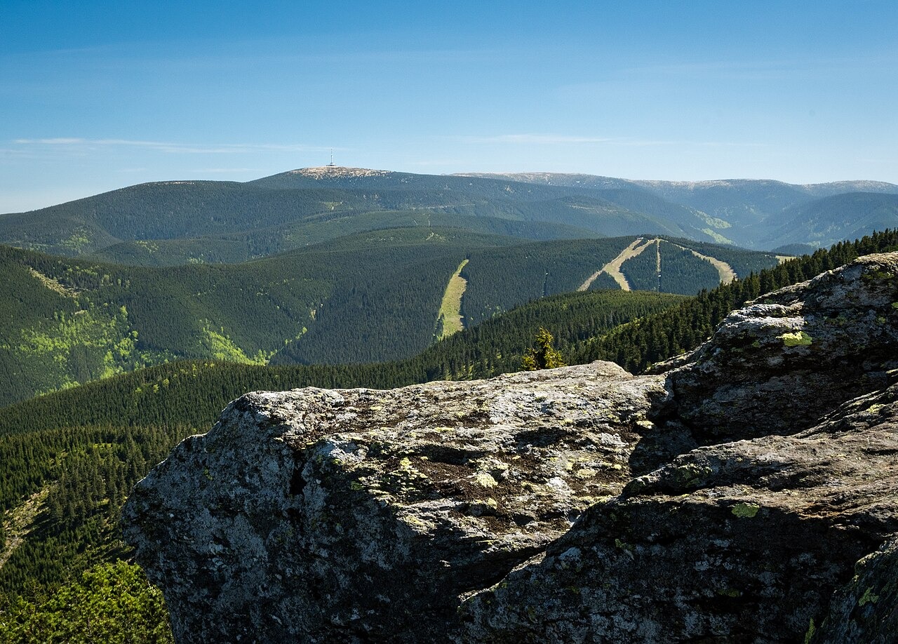
Construction of a broadcast tower began in 1970, according to the Czech Nature Conservation Agency's historical account, and that structure has since defined the summit skyline as a conspicuous landmark visible across the Jeseníky. The broadcast tower stands apart from the natural high point, which the agency describes as a rounded, periglacially reworked landform.
Nature Reserve and Plant Communities
The national nature reserve centred on Praděd protects mountain plant communities characteristic of the upper Jeseník zone. The Czech Nature Conservation Agency records species such as Agrostis alpina and Gentiana punctata within the reserve, documentation that reflects the ecological range of the protected area rather than the immediate summit surface alone.