
Volcanic Rocks and the History of a Geologic Name
Geologists Cross and Purington drew on rock exposures at Potosi Peak when they introduced a named volcanic series in their 1899 Telluride folio. The 1905 Silverton folio elaborated on these outcrops, describing an alternation of flows and tuffs and recording thin glassy flows specifically noted at the peak. Subsequent USGS studies revised and reclassified the formally named units, so the peak's rock record figures in an evolving history of volcanic mapping rather than a fixed stratigraphic designation.
The Sneffels District and Adjacent Mining
The Sneffels Range surrounding Potosi Peak was the site of substantial gold and silver extraction. USGS mineral production reporting identifies Camp Bird, in the adjacent drainages and ridges of the Sneffels–Red Mountain district, as a major producer. Source documentation associates mining activity with the district's ridges and valleys rather than with workings specific to Potosi Peak itself.
Summit Form and Range Position
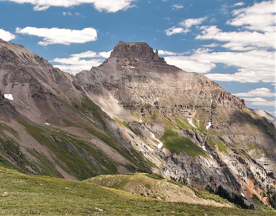
Potosi Peak is characterized by a high, broad-topped profile within the Sneffels Range. Its position in Ouray County places it within the high volcanic terrain of the San Juan Mountains, a region that Cross and earlier researchers began systematically mapping from exposures that include the peak itself.