
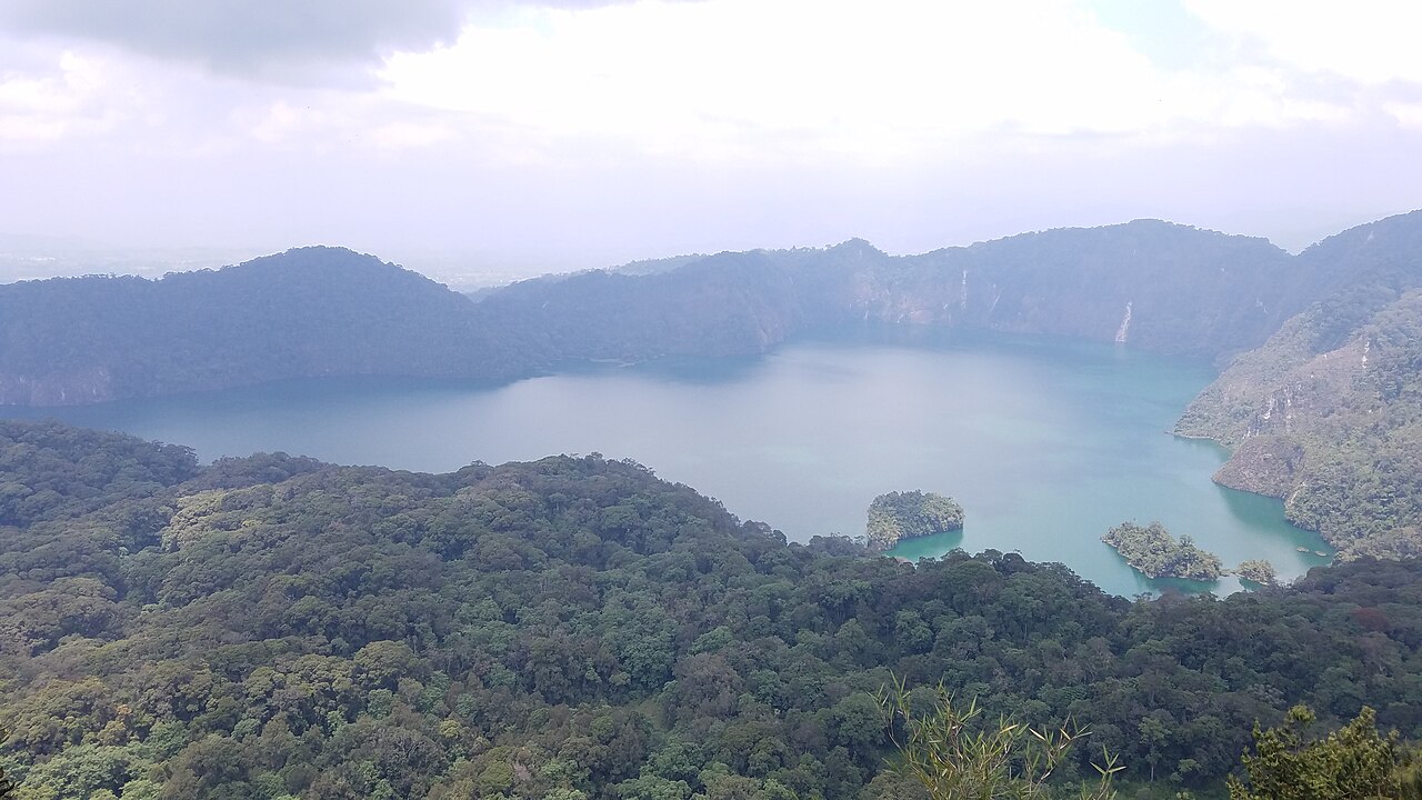
Ngozi Caldera and Crater Lake
Among the ridge's most prominent features is the Ngozi caldera, listed by the Smithsonian Global Volcanism Program under its own entry. The Smithsonian describes the caldera as approximately 3 km across with a steep rim. Trachytic to phonolitic volcanic deposits in the caldera area illustrate the range of eruptive compositions found across the Poroto Ridge.
Volcanic Soils Sampled Near Mbeya
Research coordinated through Sokoine University of Agriculture and regional geothermal assessments supported by the African Development Bank documents ash and pumice deposits with humus-rich horizons on sampled slopes southeast of Mbeya. These dark-brown soils, formed through repeated volcanic input and organic accumulation, characterise the agricultural and ecological character of the surrounding upland slopes.
Poroto Ridge Forest Reserve
The Poroto Ridge Forest Reserve appears in the Tanzania Forest Services inventory and is recorded on Protected Planet. Southern slopes of the Mporoto area drain toward Lake Nyasa, linking the ridge hydrologically to the broader Rift system. The reserve protects montane forest cover across the ridge, with the southern Mporoto watershed forming part of the broader drainage network of the Mbeya and Songwe regions.