
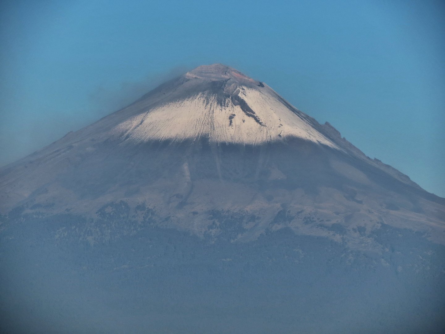
Geography and ecosystem of the shared park
Popocatépetl forms, together with Iztaccíhuatl, the central axis of the Iztaccíhuatl-Popocatépetl National Park, administered by CONANP. From any point on the central plateau the two volcanoes appear as independent, clearly distinct cones separated by a high-mountain corridor. At the ecosystem scale, the park shelters fauna characteristic of the Mexican alpine zone, most notably the volcano rabbit, a species endemic to this environment.
The volcano's position on the boundary among three states — Estado de México, Morelos and Puebla — gives it an unusual territorial reach: its flanks drain into different catchments, and its ash columns, when they occur, can reach communities in various directions depending on the prevailing wind, as documented in specific episodes of its recent eruptive phase.
The 1994 reactivation and its immediate consequences
On 21 December 1994, CENAPRED recorded the onset of a new eruptive phase that deposited ash over communities in the state of Puebla. That episode marked the beginning of an activity cycle that included the repeated formation and destruction of lava domes inside the crater. It was the first significant eruptive episode in decades and tested the country's institutional capacity to respond to long-duration volcanic threats.
The 1994 reactivation must be distinguished from the 1997 episode, when, according to the CENAPRED technical data sheet, an ash column drifted over Mexico City and caused the temporary closure of the capital's airport. Both events form part of the same prolonged eruptive phase, but they represent distinct moments in terms of their geographic reach and logistical impact.
Scientific monitoring: an unprecedented institutional response
The volcano's renewed activity prompted CENAPRED and the United States Geological Survey (USGS) to establish the first permanent monitoring-station networks in the years following 1994. Those stations combine seismometers, deformation sensors and visual surveillance systems to track the volcano's internal dynamics in real time. Popocatépetl thus became a laboratory of applied volcanology with direct implications for emergency planning in the dozens of communities situated on its slopes and piedmonts.
Cultural legacy and name
The name Popocatépetl comes from Nahuatl and is commonly translated as "smoking mountain," a designation that the people who lived nearby considered apt long before modern volcanology could explain the mechanism behind the phenomenon. The persistence of smoke and pulses of activity over the centuries made the volcano an inescapable reference in the cosmology and oral tradition of the cultures of the central plateau, though the specific accounts vary according to the tradition and source consulted.