
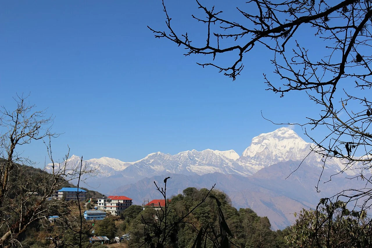
Viewpoint and Forest Approach
The ascent from Ghorepani passes through rhododendron forest, a landscape the NTB highlights alongside the summit panorama. Institut de recherche pour le développement field research documents Ghorepani's growth in direct connection with traffic to the viewpoint above, situating the village's expansion within the broader Annapurna trekking circuit.
The Name and the Tower
Local history recorded in a Kathmandu Post interview attributes the adoption of the name Poon Hill to retired major Tek Bahadur Poon of Khibang. The same account preserves the earlier toponym Lumthung ko Danda for the ridge. The observation tower standing on the summit was built in Poon's memory.
Annapurna Conservation Area Itinerary
The National Trust for Nature Conservation lists Poon Hill as a waypoint on the Annapurna Conservation Area's standard circuit itinerary. The Conservation Area is administered by the NTNC under a designation distinct from a national park, and IRD field documentation places Ghorepani among the waypoint villages that expanded to serve walkers on this route.