
First Ascent by Shipton and Tilman, 6 August 1930
Eric Shipton and Bill Tilman made the first recorded ascent of Point Piggott on 6 August 1930 during their Mount Kenya expedition. Shipton's firsthand account, published in the Alpine Journal in 1931, describes the north–south ridge and identifies the highest point at the northern end, providing the primary documentary basis for the summit's geographic characterisation.
The 1964 Grand Traverse with Phillips and Baillie
In 1964, a three-day Grand Traverse of the Mount Kenya massif included Point Piggott alongside Batian, Nelion, and Point John. The American Alpine Journal records this traverse, associated with Phillips and Baillie, as a significant episode in the documented climbing history of the massif.
The Tyndall Glacier and Glaciological Record
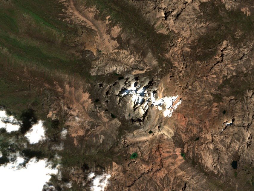
Point Piggott's ridge lies beside the historical Tyndall Glacier, one of the equatorial glaciers surveyed in research published in the Journal of Glaciology. That study documents the extent and change of Mount Kenya's glaciers and provides the scientific baseline for understanding the glacial environment that defines the summit's immediate terrain.