
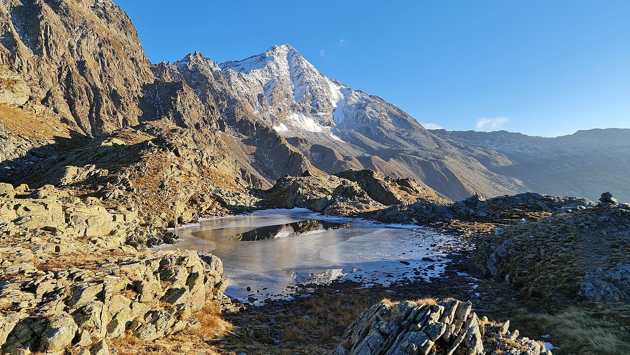
Valleys and northwest wall
A 1999 CAI survey names four valleys enclosing the peak: Val d'Avero to the southwest, Valle Rabbiosa to the northwest, Vallone dello Stella to the north-northeast, and Val de Cà to the east. Lombardy's hut consortium describes morainic terraces on the northwest approach. Moraines are ridges and mounds of debris that glaciers deposit as they advance and recede, and their presence on this flank records past ice activity below the summit wall.
Documented glaciers of 1906
A 1906 CAI mountain survey named two ice bodies on Pizzo Stella: the Mortee on the northwest flank and the Ponciagna to the northeast, the latter draining toward Val di Lei. Both names came from an earlier guide and report, covering features that appeared on no maps the writer examined. The historical document records where these glaciers stood and what they were called at that time.
Rifugio Chiavenna and Passo di Angeloga
CAI Chiavenna's hut sits at 2,044 m within Alpe Angeloga, at the foot of the northwest face of Pizzo Stella. The higher Passo di Angeloga is the viewpoint from which the principal photograph of the peak was taken.