
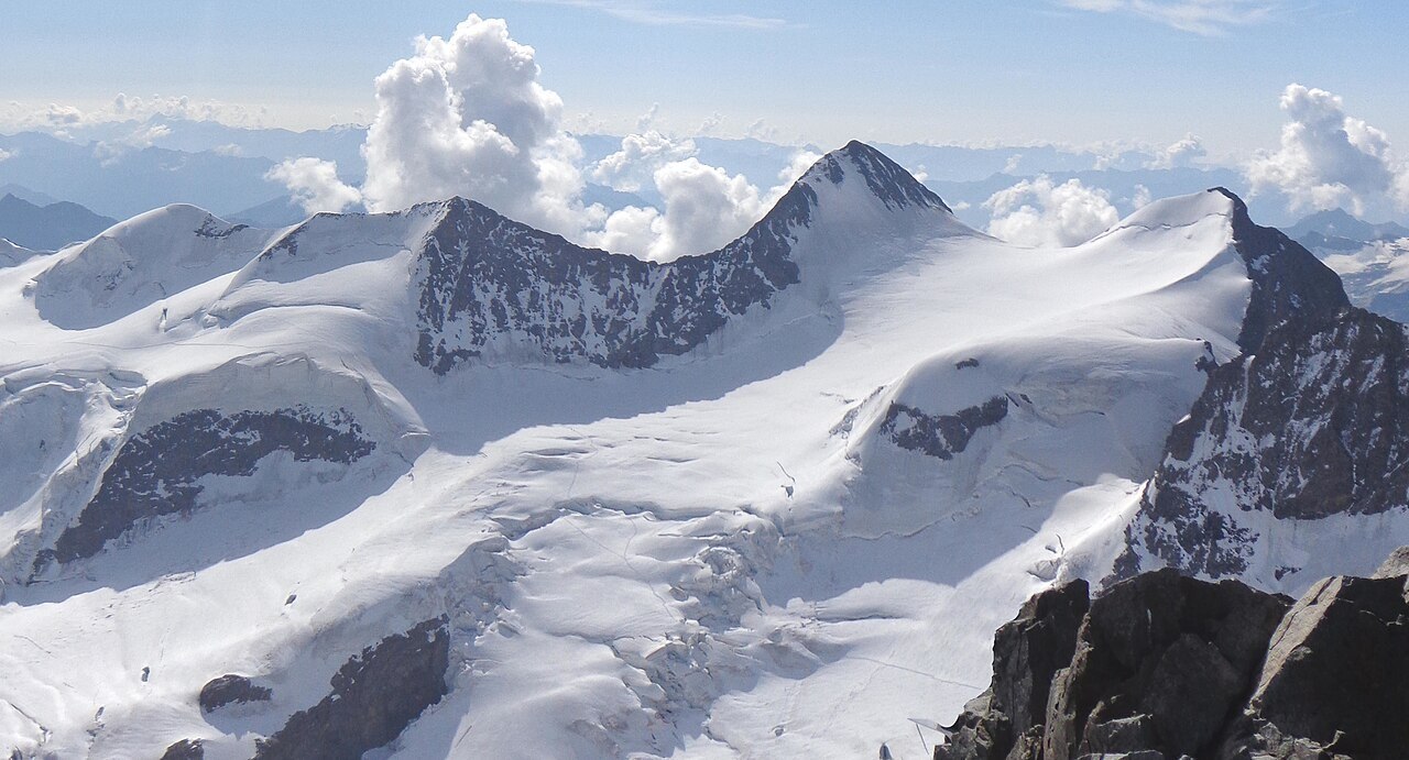
A Name Rooted in Concealment
The Romansh toponym Zupò signals a summit that does not announce itself boldly on the horizon. Where Piz Argient commands immediate visual attention along the same high ridge, Piz Zupò occupies a position that the Swiss Alpine Club describes as comparatively unobtrusive — a distinction embedded in the mountain's name long before modern cartography fixed it on official maps. That quality of hiddenness does not diminish its stature: at 3,996 metres, the summit grazes the threshold of the four-thousanders, a threshold it falls just short of crossing.
Frontier Topography and the Glacier Basin
The summit sits precisely on the Swiss–Italian frontier, forming part of the high mountain arc that encloses the Morteratsch glacier basin on its eastern and southern margins. The glaciers occupying this basin are geographic features in their own right, distinct from the summit above them, and the whole arrangement places Piz Zupò within a chain of peaks that includes Piz Bernina — though Zupò is geographically and topographically separate from that highest summit of the Eastern Alps. The interplay between the ice below and the ridge above defines the visual and physical character of this part of the Bernina Range.
Surveying the High Bernina
During the 1850s, survey expeditions worked through the high Bernina massif as part of a broader effort to map the range with accuracy. The Swiss Alpine Club has documented the contributions of figures such as Johann Coaz to this campaign of measurement and reconnaissance across the massif as a whole. It is important to distinguish these surveying efforts — which encompassed the range broadly — from any first ascent of Piz Zupò as an individual summit; the available record does not permit a claim about which individuals, if any among the surveyors, reached this particular top.