
Marinelli’s climb in 1880
The Italian Alpine Club records the geographer Damiano Marinelli on the southeast ridge on 4 August 1880. His ascent formed part of a wider effort to explore the Italian side of the Bernina Range. The ridge brought his party up from the glaciated Fellaria basin to the border summit.
Across Fellaria in 1903
On 6 September 1903, H. Hössli and the guide Christian Klucker left the Boval hut before dawn. The yearbook traces their approach via Fuorcla Bellavista and across the Fellaria Glacier. They climbed a short ice wall to reach the southeast ridge at about 7:30 a.m., then followed its crest to the summit, which they reached at 9 a.m.
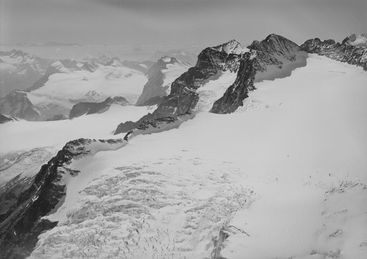
The ridge from the air
Werner Friedli’s 1964 aerial photograph records the rocky crest cutting between stretches of snow and crevassed glacier ice. Viewed alongside the 1904 account, it shows why crossing the glacier and gaining the ridge were two separate parts of the climb.