
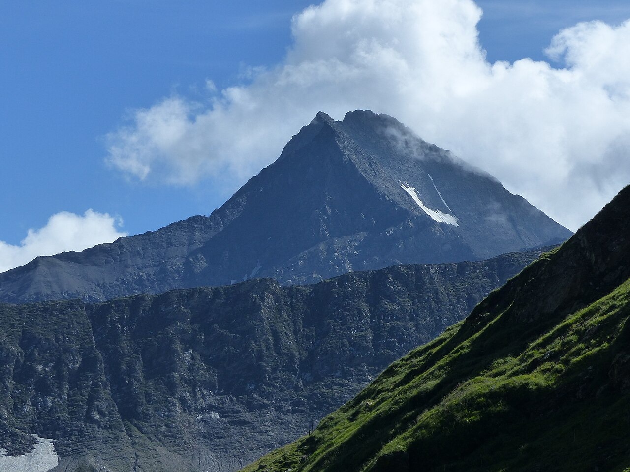
Schist Pyramid and Glacial Cirque
The Federal Office for the Environment's national inventory identifies a band of dark clayey and calcareous Bündner schists extending between Lago di Luzzone and Piz Terri, with a pale carbonate band continuing farther toward the Greina pass. The inventory also records moraine deposits and a small unnamed lake in the cirque northwest of the summit as evidence of former glaciation in that hollow.
The federal inventory documents glacially polished bedrock and hummocks on the north side of the Greina plateau, evidence of past ice flows through the area. Meltwater drainage shaped the braided alluvial plain below, and Piz Terri's pyramid rises at the plateau's edge above this glacially worked terrain.
The 1893 Ascent from Vrin
A Swiss Alpine Club record documents that E. Huber and Joseph Gamma reached the summit of Piz Terri on 17 June 1893, approaching from Vrin via the western ridge. Before their departure, a local host told them no other line of ascent was feasible. Huber's account describes the steep eastern face of the mountain as resembling a church roof, and records a rocky descent toward the east over slate and snow after they had gained the top.
Huber's ascent account records an elevation of 3,151 metres, a figure that differs slightly from the 3,149 metres shown in the modern swisstopo profile and used by the Terri Hut. Huber also wondered whether a possible north-ridge line might correspond to a prior ascent by Placidus a Spescha, a question he raised in his account.
The Greina Basin and Its Protection
The Greina plateau below Piz Terri has long served as a seasonal crossing between Val Lumnezia in Graubünden and Ticino, with livestock and trade moving across documented routes. The braided floodplain of the Plaun la Greina is listed in the federal inventory as an alpine alluvial zone of national importance.
A cantonal report records that in 1986 a proposed hydropower project that would have inundated the high plain was abandoned. According to a cantonal report, the area came under protection in 1996, and the federal national landscape inventory has also covered the area. A 2004 federal designation extended wildlife protection on the Graubünden side of the plateau under the Pez Vial/Greina GR listing.