
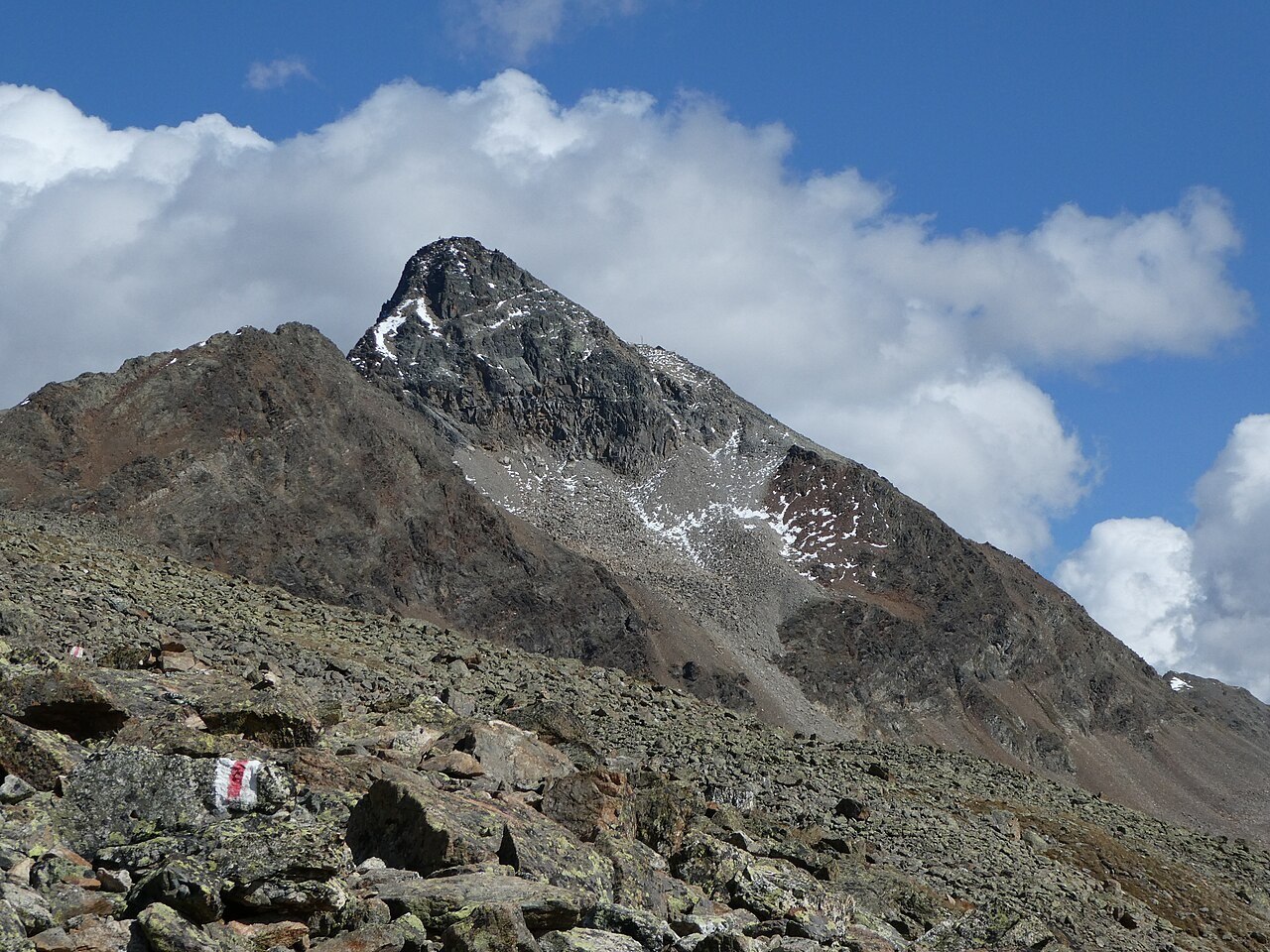
Landform and Topography
The Swiss Alpine Club describes Piz Languard as a mountain of three ridges, with its southern and western flanks giving way to pastures that extend to roughly 2,900 metres before the terrain steepens toward the summit. The eastern face presents a markedly different character, dropping sharply above the Val Prüna and offering a contrast that makes the mountain read differently depending on the direction of approach.
Geographically distinct from the summit itself, Chamanna Georgy stands at 3,175 metres — roughly 88 vertical metres below the highest point. The separation between the hut and the true summit is a consistent feature of the mountain's layout, defining the upper zone as a discrete final section rather than a simple continuation of the approach.
Climbing History
The SAC attributes the recorded first ascent to W. Rey in 1846, placing Piz Languard among the peaks that entered the Alpine record during the decade before the founding of the major Alpine clubs. That date situates the mountain in the earliest systematic phase of summit documentation in the region, when precise elevation surveys and named ascents were only beginning to accumulate.
By 1870, the peak had already become a point of reference for wider Bernina travel. A period account of a Bernina ascent from that year includes a descent from Piz Languard, indicating that the mountain was not merely an isolated objective but had been woven into the itineraries of climbers moving through the broader massif. The reference is incidental in that account, suggesting Languard was by then a familiar rather than a novel destination.
The Summit Zone
The three-ridge structure identified by the SAC means the upper mountain is bounded by distinct topographic lines converging at the 3,263-metre summit. The intermediate station of Chamanna Georgy at 3,175 metres provides a geographic marker within this zone, separating the approach terrain from the final ridge. The eastern face above Val Prüna adds a vertical dimension not visible from the gentler southern and western pastures, underscoring the asymmetry that is characteristic of many Engadin summits shaped by glacial erosion on their sheltered sides and exposed cliff on their eastern aspects.