
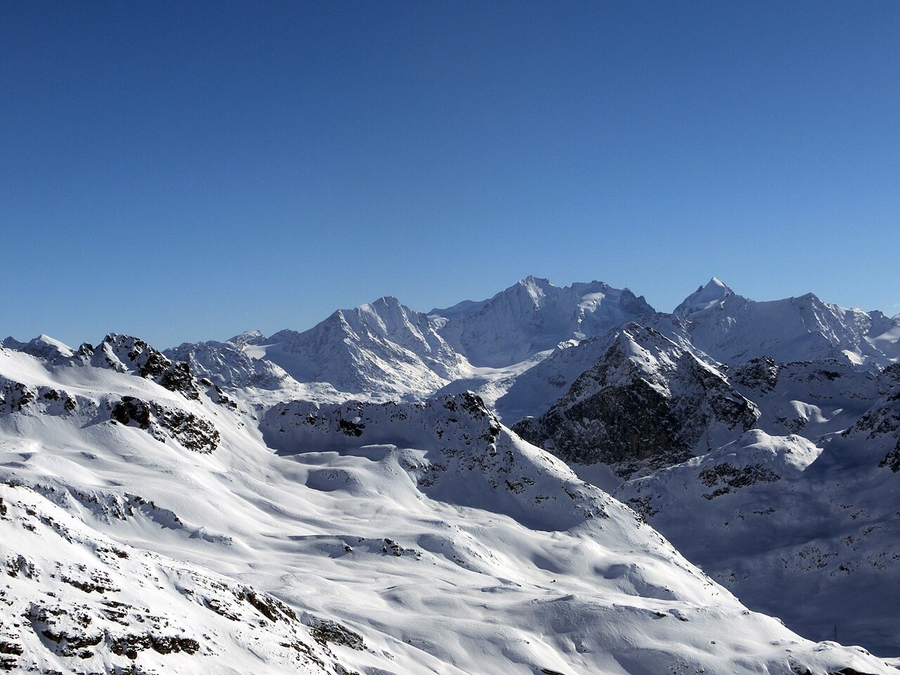
A Ski Ascent Before the Lifts
Long before mechanical infrastructure altered access to the high terrain above St. Moritz, Piz Corvatsch was the scene of a notable episode in early ski mountaineering. The operator Corvatsch AG attributes the first ski ascent of the summit to Philip Mark and Claudio Saratz, accomplished in 1899. That date places the ascent in the formative years of skiing as a sport in the Engadin — a period when the technique and equipment were rudimentary by any later standard, and when reaching a summit above 3,400 metres on skis represented a genuine exploratory undertaking rather than a routine exercise.
The Cableway and the Two-Summit Map
The modern cableway system serving Piz Corvatsch was built in two stages. According to the Corvatsch AG archive, the first section opened in March 1963 and the second section followed in December of the same year. The topographic map the operator publishes shows the layout of the two summits — Corvatsch at 3,451 metres and Murtèl at 3,433 metres — alongside the upper cableway station at 3,303 metres. These three elevations sit in close proximity and can be conflated, but the map separates them as distinct topographic points, the station lying well below either summit.
Permafrost Monitoring at Murtèl–Corvatsch
The area around Piz Murtèl and Piz Corvatsch hosts one of Switzerland's longest-running permafrost monitoring installations. The Swiss Permafrost Monitoring Network, PERMOS, maintains a borehole at the Murtèl–Corvatsch rock glacier and uses it to record ground temperatures as part of a programme tracking subsurface thermal conditions across the Swiss Alps. The measurements from this site are tied specifically to the rock glacier location and the borehole instrumentation there; they describe conditions at that particular monitoring point rather than characterising the permafrost state of the broader summit area or yielding a single current rate attributable to the mountain as a whole.