
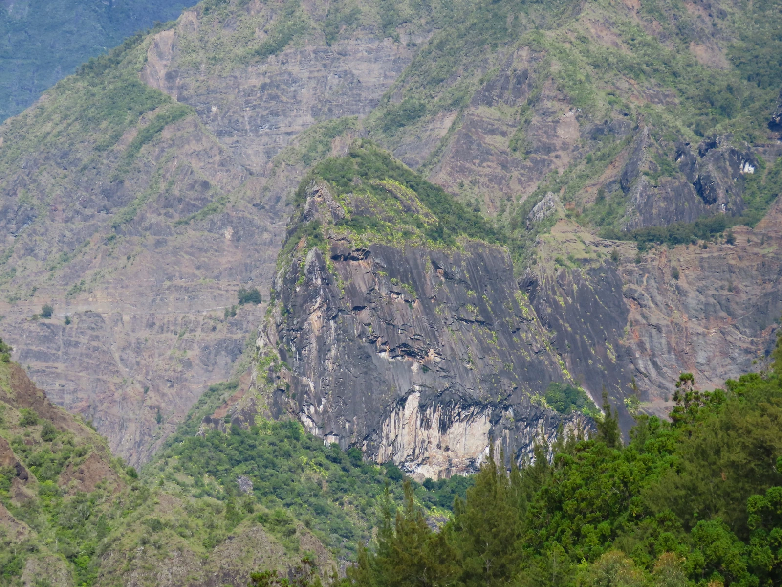
A rock born deep underground
Magma solidified slowly at depth and formed a pale, coarse-grained rock: syenite. Erosion has since exposed the rock now visible on the piton and at the bottom of the gorge. Geologist Laurent Michon links these two outcrops to the same intrusion. Near the Bras Rouge waterfall, another outcrop appears to belong to a smaller alignment, which continues towards Îlet Dijoux.
The force of flash floods
A BRGM study reports that in 1985, successive floods scoured a section of the Bras Rouge riverbed by around ten metres in the space of a few days. The authors describe lahars — rapid flows of water, mud, and boulders. They also note bank collapses caused by the current.
The old Chemin de La Chapelle
Before the modern road was opened, the inhabitants of Cilaos and travellers reached Îlet à Cordes via the Chemin de La Chapelle, which crossed the Bras Rouge on a bridge whose stone piers still stand today. These remains document a crossing that punctuated movement through the cirque long before the age of driveable roads.
The inhabitants of the cirque built largely by hand the road linking Cilaos to Îlet à Cordes. According to the national park, it was completed in 1975. The cirque's landforms are part of the natural site inscribed on the UNESCO World Heritage List in 2010.