
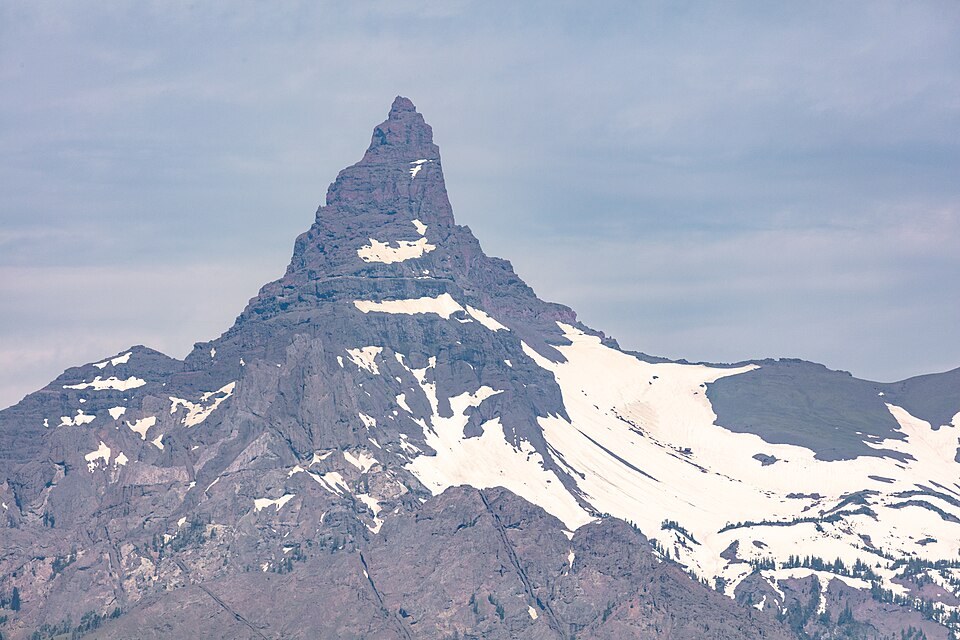
A Name Settled by Federal Review
Government maps applied the names Pilot Peak, Pilot Knob, and even Index Peak to the two spires at various times. The U.S. Board on Geographic Names resolved the ambiguity in 1937, adopting Pilot Peak for the southern spire after reviewing local usage and assigning Index Peak to the northern one. The 1937 decision fixed a cartographic record that had been unstable for decades.
Volcanic Geology
A USGS geological report documents the volcanic stratigraphy exposed at Pilot Peak, identifying Wapiti Formation layers overlain by Trout Peak Trachyandesite. These volcanic units reflect the broader eruptive history of the Absaroka Range and are visible in the peak's banded cliff faces.
1940 Ascent Record
A first-person account in the American Alpine Journal records a September 15, 1940 ascent of Pilot Peak by Phil D. Smith, George Haas, and John Makowski. The account constitutes a documented climb of the peak at that date; whether it represents the first ascent is not established by the available reporting.