
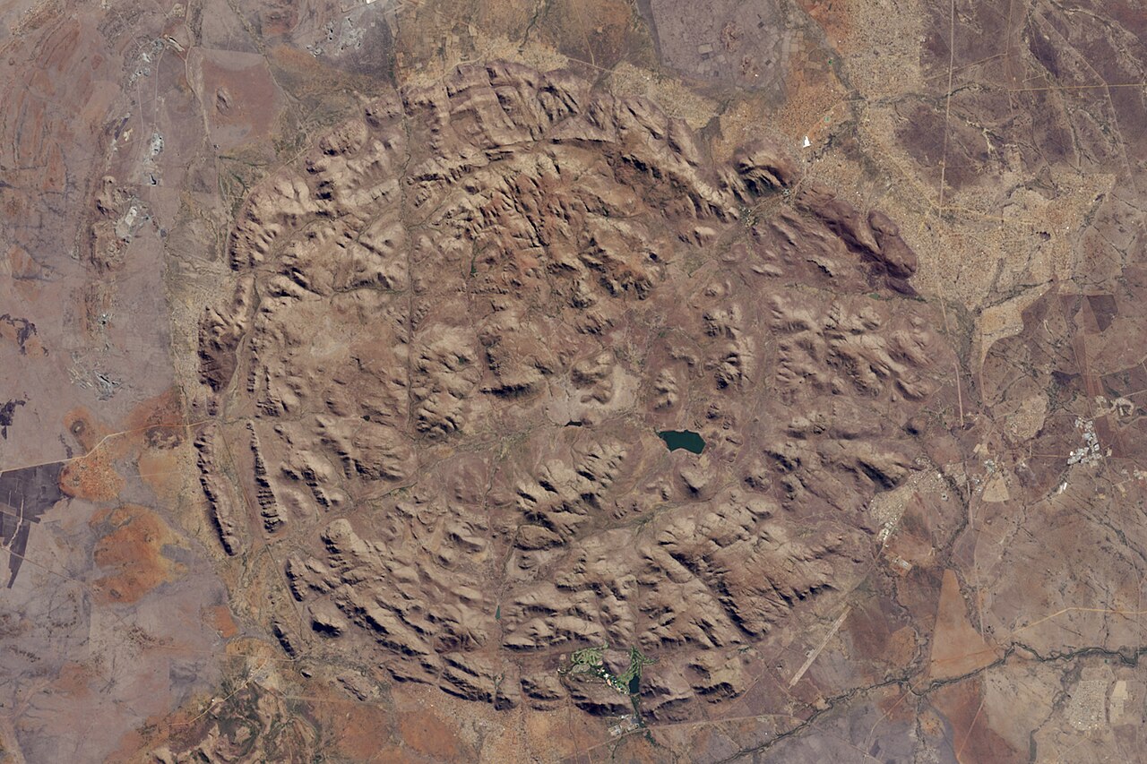
Concentric Ridges and Their Igneous Composition
The ridges that give Pilanesberg its circular plan reflect differing igneous rocks within the ancient volcanic plumbing system, as documented by Elburg and Andersen in their study of the Pilanesberg complex and related igneous rocks. Each ridge expresses a distinct rock type rather than a single uniform mass, and the intervening valleys formed where erosion worked differentially across those contrasting materials over geological time.
Protected Area Established in 1979
The land surrounding the geological complex was formally protected in 1979 under the North West Parks and Tourism Board, making it one of the larger conservation areas established in that era of South African provincial land management. The wildlife reintroduction programme that followed is documented under the name Operation Genesis, an effort that brought large mammals back to a landscape from which they had long been absent.
NASA Earth Observatory Documentation
NASA's Earth Observatory has featured the Pilanesberg ring-dike complex as a subject of remote-sensing study, using the June 2015 Landsat 8 acquisition to illustrate how orbital imagery reveals geological structure at landscape scale. The image has since served as a reference example for circular igneous features visible through natural-color band combinations, grounding scientific communication about the site in observable surface data.