
Landform and Setting
The peak has a triangular form with a hanging glacier on its northeast face and stands above neighbouring summits including Asan. The north ridge passes a 5,000 m high point before turning westward toward West Vadif Pass, which is the basis for the west ridge designation in expedition literature.
The mountain lies within the Pamir-Alay system above the Karavshin valley network and appears in sources under the names Пик Пирамидальный, Пирамида чокусу, Pyramide, and Pyramid Peak.
First Ascent and Early Climbing History
Kirill Belotserkovskiy's report in the American Alpine Journal records that a 1987 Soviet team, Nazarov, Filkov, Kirillov, Makarov, Marchenko, and Usevich, reached the summit by the east-northeast ridge. John McKeever's 1991 British expedition, filed with the Mount Everest Foundation, approached from the northwest above the glacier, surmounted a high ice barrier over four pitches, and completed a 17-hour summit day.
On 25 July 1992, Thierry Schmitter, Roland Bekendam, Hans Lanters, and Matthijs van Hasselt reached the summit by the northwest ridge, as recorded by the Netherlands Climbing and Mountaineering Association.
Northeast Face Route, 2016
In July 2016, Kirill Belotserkovskiy and Max Ten ascended the northeast face, leaving a notch and crossing the hanging glacier to reach mixed terrain, then joining the upper east-northeast ridge before reaching the summit on 29 July. They descended the north ridge toward West Vadif Pass, as documented by Belotserkovskiy in the American Alpine Journal.
A route photograph taken from close to the Lomo summit east of Piramidalny shows the northeast face and the notch used to gain access on the 2016 ascent.
Terrain and Summit Views
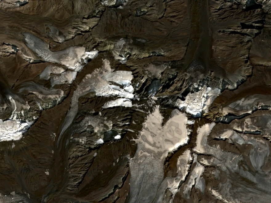
A natural-colour satellite image acquired by Copernicus Sentinel-2 on 30 August 2025 provides the current overhead view of the summit and the glaciers lying beneath its ridges.