
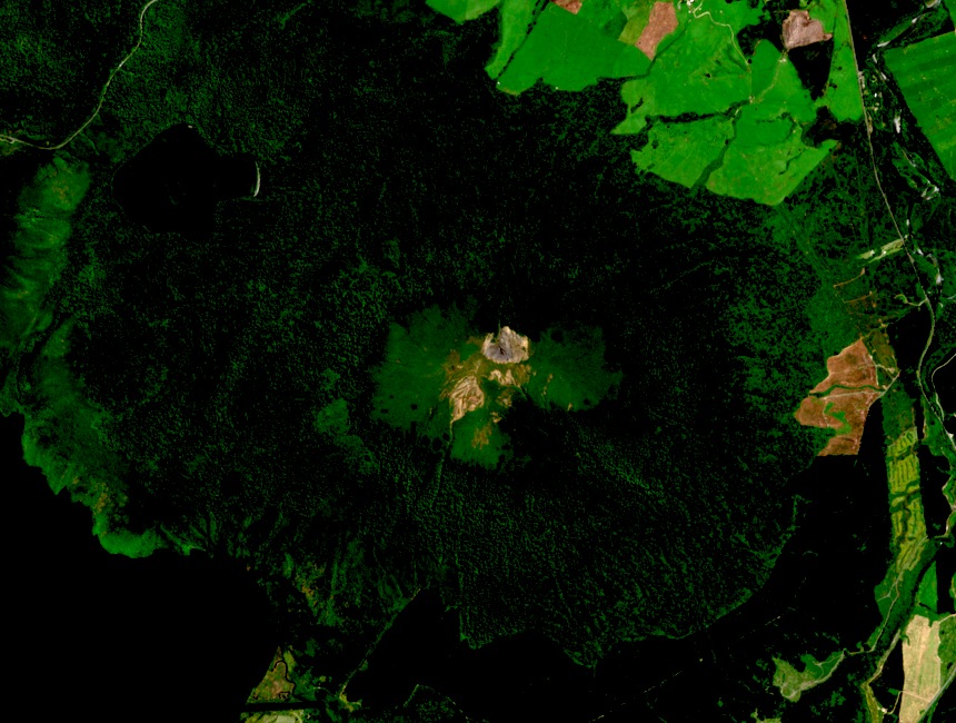
Geological Setting
The Department of Conservation identifies the Rotopounamu graben — the fault-bounded depression containing Lake Rotopounamu — as structurally distinct from the volcanic cone, and recognises the Horotore lava dome as a separate landform in the same vicinity. These features reflect the layered volcanic and tectonic character of the central plateau.
Ngāti Tūwharetoa Tradition
Te Ara records a Ngāti Tūwharetoa telling in which a contest among mountains is fought for Pīhanga, with Tongariro prevailing. This account belongs to the living oral tradition of the iwi and carries its own integrity and meaning, distinct from geological chronology.
Position in the Tongariro Landscape
Lake Rotoaira occupies a basin between Pīhanga and the higher volcanic terrain to its west, creating a layering of water, forested slopes, and volcanic summit distinctive of this part of the national park. The position near Tūrangi places the massif at the southern edge of the central plateau's volcanic terrain.