
Summit Identity and Geology
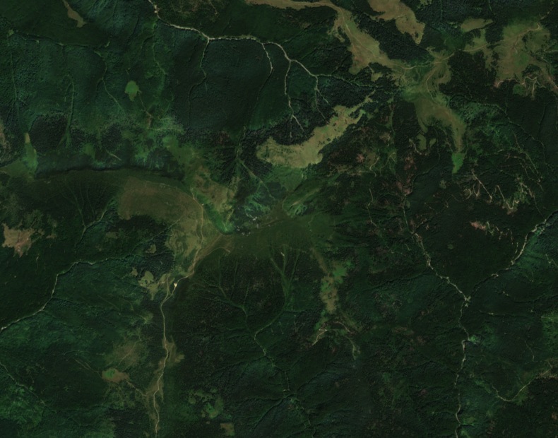
Human geography sources from Babeș-Bolyai University name Muntele Pietrosu Maramureșului together with Bardăului as a single mountain, with Vârful Pietrosu Bardăului as its high point at 1,850 m. The Maramureș Mountains Natural Park documentation and a 2008 geological profile map both record the summit independently at this elevation. The 2008 geological study presents, on a profile diagram, Cretaceous Cenomanian conglomerate overlying crystalline schists across the summit zone.
Glacial Basin and Peat Record
Within the Bardău glacial basin beneath the summit, wet depressions preserve evidence of past glaciation. The 2008 study by Fărcaș et al. locates Tăul Mare, a peat bog, at 1,615 m on an upper cirque terrace, with the smaller Tăul Mic at a lower position. A peat core sample taken near 3.78 m depth returned a radiocarbon date of 6,090 ±40 radiocarbon years before present. Nine pollen zones identified in the core reflect a sequence of vegetation changes recorded across that span.
Forest Railway and Upland Setting
The Maramureș Mountains Natural Park's visitor documentation references Stația CFF Bardău, the Bardău station of a historic forest railway, as a named point in the wooded valley below the summit upland. The park's documented route links this station in the lower Bardău valley to the open upland ridge of Pietrosu Bardăului at 1,850 m, tracing a vertical rise from forested river corridor to the exposed terrain above the Ruscova and Vaser drainages.